What is recorded here
Moyry Pass is a narrow gap in County Armagh where English troops bled for two weeks in 1600 because Hugh O'Neill had turned stone, earth and twisted branches into three killing lines. Mountjoy believed he could squeeze Ulster by taking Armagh, but the pass refused to open without paying in flesh. They broke the first barrier, crowded into the second, and discovered that victory had a trap at its heart.
Battle of Moyry Pass is a battle in County Armagh, Ireland.
- Date
- 1600-09-20
Places near here
 CASTLE & BAWN: MOYRY or MOIRY CASTLE in CarrickbroadCASTLE & BAWN: MOYRY or MOIRY CASTLE · 87 yd
 Moyry CastleCastle · 95 yd
 ENCLOSURE in CarrickbroadENCLOSURE · 320 yd
 Kilnasggart inscribed stoneArchaeological place · 468 yd
 KILNASAGGART INSCRIBED PILLAR STONE & CEMETERY with 6 CROSS-CARVED STONES: CELL NA SACART in EdenappaKILNASAGGART INSCRIBED PILLAR STONE & CEMETERY with 6 CROSS-CARVED STONES: CELL NA SACART · 469 yd
 SlievenaboleaMountain / peak · 789 yd
 Ring of Gullion Way - Section 3Walking route · 1526 yd
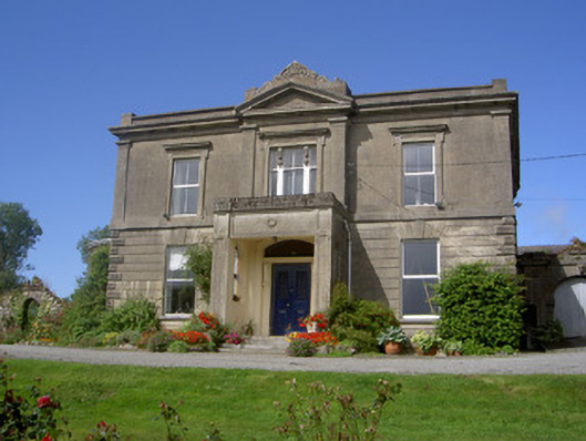 Claret Rock Househouse · 1618 yd
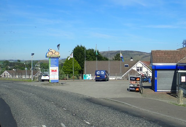 Ring of Gullion WayWalking route · 1652 yd
 Feede MountainMountain / peak · 1736 yd
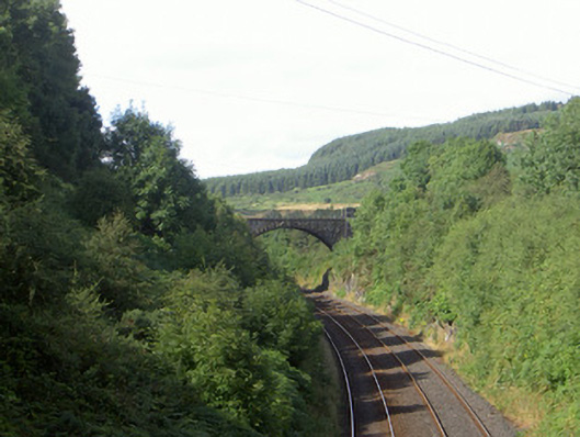 bridgebridge · 1.0 mi
 1978 British Army Gazelle downingaviation accident · 1.3 mi