What is recorded here
Battle Bridge crossing the river Shannon connecting the county of Leitrim to Roscommon. Situated c. 1km NW of Leitrim village on the road to Boyle, Co. Roscommon. The road is depicted on Taylor and Skinner’s map of Irish roads of 1788 (Andrews 1969, 234). The bridge is described as 'Battle Bridge' in italic lettering on the OS 6-inch maps for counties Roscommon and Leitrim. This is an eighteenth or nineteenth-century road bridge across the River Shannon which was probably built in its present form in conjunction with the Shannon Navigation, the most northerly section of which commences c. 200m downstream. There is no visible surface evidence of an antiquity.
Compiled by: Michael Moore
Date of upload: 24 August 2010
The monument record does not grant public access. Check the route and ask the landowner before entering private land.
- What survives
- Recorded monument
Places near here
 Battle of Áth an Chipbattle · 9 yd
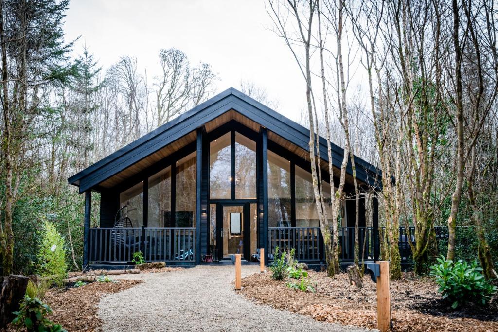 Enclosure in DrumhiernyEnclosure · 372 yd
 Site of ChurchChurch · 548 yd
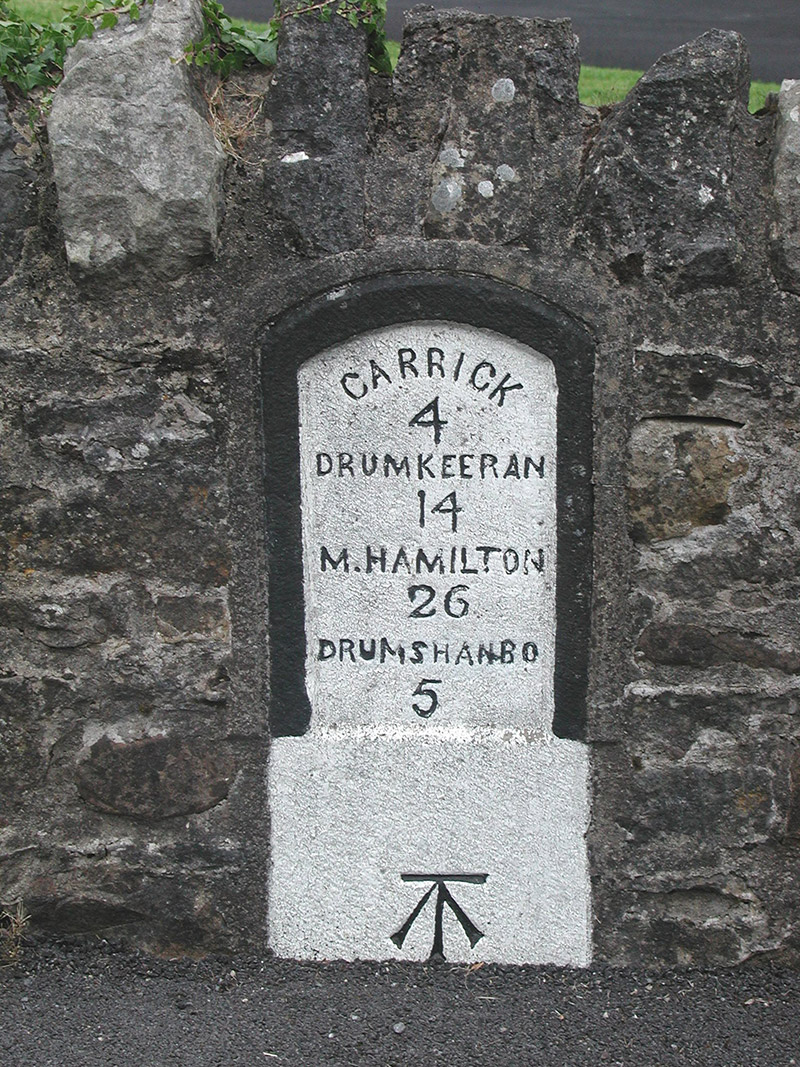 milestone/milepostmilestone/milepost · 1029 yd
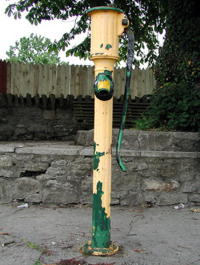 water pumpwater pump · 1083 yd
 Sit of Breifny CastleCastle, tower house · 1195 yd
 Shannon-Erne WaterwayVisitor information · 1205 yd
 InishnagonIsland · 1.0 mi
 PortCastle, unclassified · 1.2 mi
 Leabaidh DermotCave · 2.4 mi
 Sheemore Ambush MemorialMonument · 2.8 mi
 Derreenargan WoodWood · 3.0 mi