What is recorded here
Described in the Civil Survey (1654-6) as on the lands of 'Loghrane, Gortderryboy, Ballypolline & Shanballynahy' there stands 'A fforte cast upp at the charge of the state in the yeare 1652' (Simington 1931, vol. 1, 8). The land in 1640 was under the ownership of 'Thomas Magher of Loghrane Teige O Magher of Killovardy Esqr. Wm. Magher of Ballypolline Irish Papist' (ibid.). According to Kerrigan (1980, 149) 'The Down Survey map, Half Barony of Ikerin shows 'Fort of Curragineene' as a square bastioned fort on the east bank of the Nore. The O.S. map shows Curragunneen Bridge (four miles south of Roscrea) at this location, but no indication of the fort'.
This seventeenth-century fortification remains unlocated within Shanballynahagh townland.
The above description is derived from 'The Archaeological Inventory of County Tipperary. Vol. 1 - North Tipperary' compiled by Jean Farrelly and Caimin O'Brien (Dublin: Stationery Office, 2002). In certain instances the entries have been revised and updated in the light of recent research.
Date of upload/revision: 22 September 2008
A bastioned fort in Shanballynahagh, possibly a 17th-century military structure built by the state in 1652, rather than an early-medieval fairy fort; no folklore or prehistoric significance is recorded.
The monument record does not grant public access. Check the route and ask the landowner before entering private land.
- What survives
- Recorded monument
Places near here
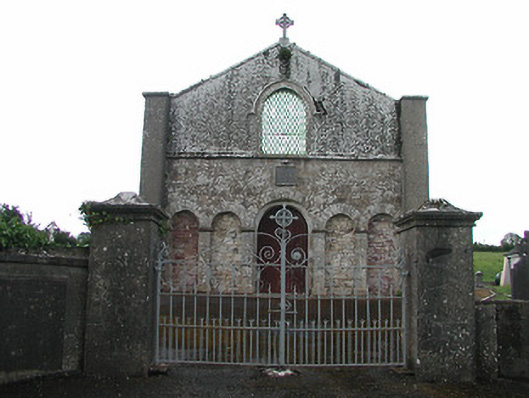 Saint Patrick's Catholic Chapelchurch/chapel · 198 yd
 Castle (in ruins)Castle, tower house · 1659 yd
 IndicatedEnclosure · 1.1 mi
 EnclosureEnclosure, large enclosure · 1.1 mi
 Church in Bawnmadrum NorthChurch · 1.3 mi
 Black HillMountain / peak · 1.7 mi
 Carricknasrock WoodWood · 2.1 mi
 OutlinedCastle, Anglo-Norman masonry castle · 2.9 mi
 Longford WoodForest · 3.4 mi
 College HillMountain / peak · 4.5 mi
 Roscrea Petty Sessions HouseHeritage attraction · 4.6 mi
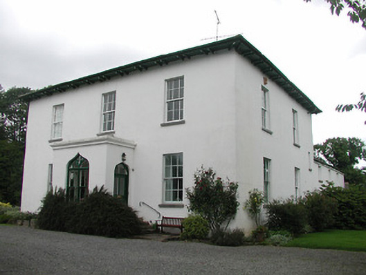 Aghsmear Househouse · 1.4 mi