What is recorded here
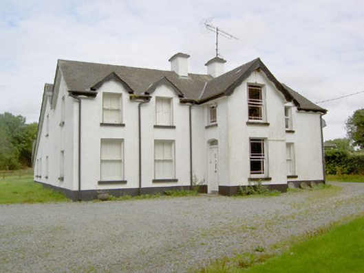
Detached four-bay two-storey house, built c. 1890, having gablets to upper storey, projecting two-storey gable-fronted breakfront to the main elevation (southeast) and multiple-bay single- and two-storey extensions to rear (northwest). Possibly incorporating the fabric of an earlier building to site (1338 map). Pitched artificial slate roof with central pair of rendered chimneystacks and decorative timber bargeboards. Painted smooth rendered walls over smooth rendered plinth. Square-headed window openings with painted stone sills and one-over-one timber sliding sash windows. Square-headed window openings to porch with painted stone sills and margin timber sliding sash windows with coloured glass to margins. Segmental-headed door opening to southwest face of porch having timber panelled door and overlight. Timber shutters visible to window interiors. Set in own grounds recessed from road, adjacent to derelict mill complex (13314007), to the west of Barry. Gateway to the south comprising a pair of dressed limestone gate piers (on square-plan) having double leaf cast-iron gates.
This attractive and substantial late nineteenth-century house retains its early form and character. The gabled dormers, decorative bargeboards and the gabled breakfront lend it a vaguely Tudor Revival feel. It retains many interesting features, including its original timber door and timber sash windows, some with margin glazing having coloured glass panels. Its position adjacent to a former corn mill (13314007), suggests that it may have been originally constructed by the owner of this mill. It replaced an earlier building to site (possibly associated with the mill), which is indicated on the Ordnance Survey first edition six-inch map of the area (1838). The simple but attractive entrance gates complete the setting and add to this composition, which is an integral element of the built heritage of the Barry area.
This does not grant access. Most recorded buildings are privately owned; view them only from public ground unless the owner allows entry.
Places near here
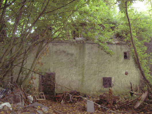 mill (water)mill (water) · 36 yd
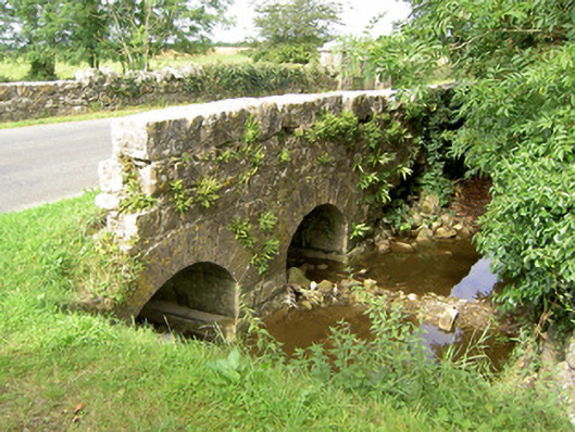 bridgebridge · 103 yd
 Barry CastleCastle, unclassified · 275 yd
 Enclosure in Barry (shrule By., Ballymahon Ed)Enclosure · 1063 yd
 Indicated FortFairy fort / earthen ringfort · 1583 yd
 Bawn in TirlickeenBawn · 1.4 mi
 Newcastle WoodsForest · 2.5 mi
 Corlea Bog Walk Canal BranchWalking route · 3.2 mi
 Corlea Trackway Interpretative CentreHeritage attraction · 3.5 mi
 European BeechEuropean Beech · 3.6 mi
 Corlea Bog Walk Blue LoopWalking route · 3.8 mi
 Leveret IslandIslet · 6.6 mi
Other information
Photo: National Inventory of Architectural Heritage · Website use allowed for educational or private purposes with source credit