What is recorded here
Situated on a natural rise (397ft/121m), in pasture. Not depicted on the 1837 ed. OS 6-inch map. Annotated ‘Tuitestown Moat’ on the 1837 OS Fair Plan map at a spot height located to the immediate NE of a roadway. Monument is not visible at the convergence of four field boundaries on Digital Globe aerial photography. The annotation 'Tuitestown Moat' along with the location on top of a hillock suggests a possible barrow classification.
Compiled by: Alison McQueen, Vera Rahilly and Caimin O’Brien
Date of upload: 12 February 2019
The monument record does not grant public access. Check the route and ask the landowner before entering private land.
- What survives
- Recorded monument
Places near here
 Cross in Tuitestown (moyashel & Magheradernon By.)Cross · 546 yd
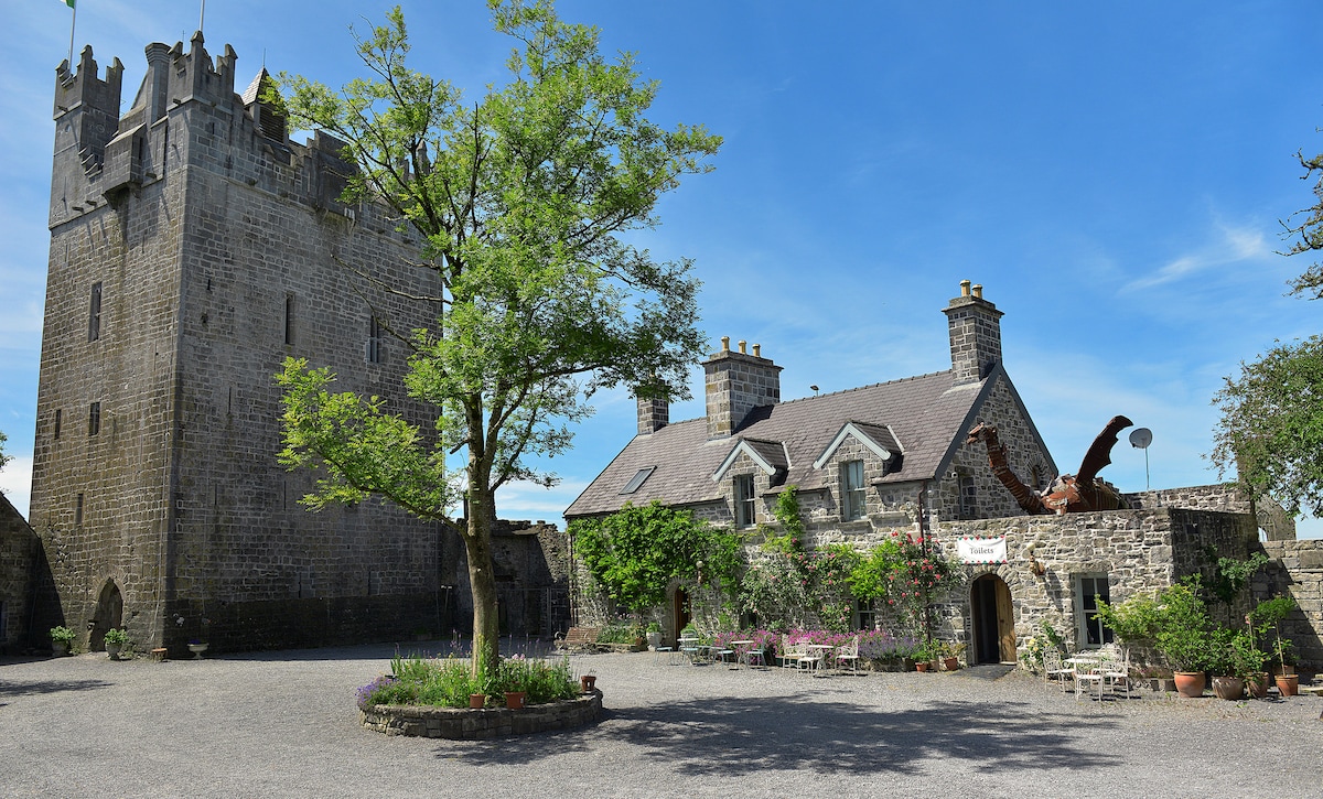 CastleCastle, ringwork · 585 yd
 Shanonagh Bridgebridge · 604 yd
 Bawn in Tuitestown (moyashel & Magheradernon By.)Bawn · 959 yd
 Enclosure in ShanonaghEnclosure · 1217 yd
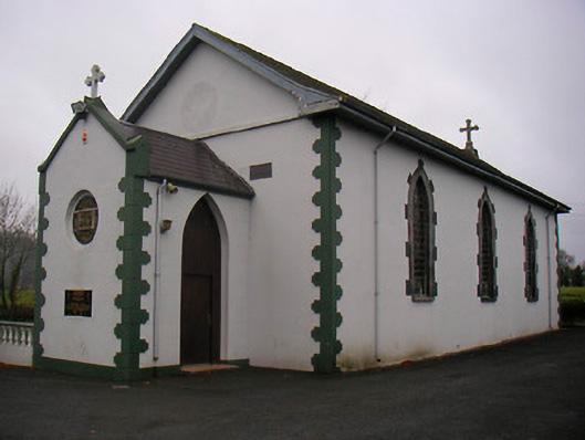 Catholic Church of the Little Flower and Our Lady of Good Counselchurch/chapel · 1633 yd
 WestmeathVisitor information · 1.1 mi
 Ancient Ring FortWood · 2.3 mi
 Carrickphilbin IslandIslet · 3.6 mi
 Srudarra IslandIslet · 3.8 mi
 Hill of UisneachMountain / peak · 5.0 mi
 Sessile OakSessile Oak · 8.5 mi