What is recorded here
The following description is derived from both the published 'Archaeological Inventory of County Louth' (Dublin: Stationery Office, 1986) and the 'Archaeological Survey of County Louth' (Dublin: Stationery Office, 1991). In certain instances the entries have been revised and updated in the light of recent research.
Date of upload/revision: 17 July 2007
Situated on summit of a broad ridge. Large ring-barrow, comprising a level, circular central platform (diam. 15.3m) enclosed by two fosses and two banks. The innermost fosse (Wth 6-9m, D 0.2-0.8m) is enclosed by the innermost bank (Wth 6-10.5m, H 0.8-1.5m), and the outer fosse (Wth 9m, D 1.5m) is in turn enclosed by an outer bank (Wth 9.5m, H 1-1.3m). The outer fosse and bank are replaced from NW-N-SE by modern fences. If the circuit of earthworks was complete there would have been an overall diam. of 84.3m. The site is alternatively known as 'Lios glas' and 'Lios na Reitean' (CLAJ 1923, 203). (CUCAP, APD 85, AOX 68)
The monument record does not grant public access. Check the route and ask the landowner before entering private land.
- What survives
- Recorded monument
Places near here
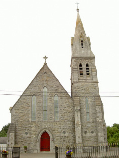 Saint Nicholas's Catholic Churchchurch/chapel · 309 yd
 St. Nicholass ChurchChurch · 494 yd
 Ecclesiastical enclosure in StabannanEcclesiastical enclosure · 501 yd
 CastleCastle, unclassified · 525 yd
 Enclosure in Richardstown (ardee By., Richardstown Par.)Enclosure · 799 yd
 Graveyard in Richardstown (ardee By., Richardstown Par.)Graveyard · 1619 yd
 Monterey CypressMonterey Cypress · 1663 yd
 Rocjardstown CastleCastle, tower house · 1690 yd
 Graveyard in StickillinGraveyard · 2.5 mi
 Rabbit BurrowWood · 2.7 mi
 Drummeenagh HillMountain / peak · 3.3 mi
 Tullydonnell HillMountain / peak · 4.3 mi