What is recorded here
The following description is derived from both the published 'Archaeological Inventory of County Louth' (Dublin: Stationery Office, 1986) and the 'Archaeological Survey of County Louth' (Dublin: Stationery Office, 1991). In certain instances the entries have been revised and updated in the light of recent research.
Date of upload/revision: 17 July 2007
Aerial photograph (ACAP) shows faint traces of a ring-ditch (max. diam. c. 22m) comprising two concentric ditches. Possibly a ploughed-out barrow (Buckley 1987, 20-1).
The monument record does not grant public access. Check the route and ask the landowner before entering private land.
- What survives
- Recorded monument
Places near here
 Enclosure in PortEnclosure · 355 yd
 Enclosure in Nicholastown (ferrard By.)Enclosure · 751 yd
 Church (in ruins)Church · 1118 yd
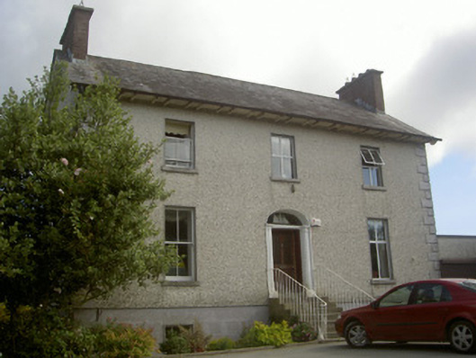 Seaview Househouse · 1588 yd
 IndicatedCastle, tower house · 1.8 mi
 Moneyveg WoodForest · 2.6 mi
 Graveyard in DysartGraveyard · 2.6 mi
 Sweet baySweet bay · 2.9 mi
 BarmeathCastle, tower house · 2.9 mi
 Chapel (in Ruins), GraveyardChurch · 3.2 mi
 Tullydonnell HillMountain / peak · 3.2 mi
 MonasterboiceEarly monastic site · 7.2 mi