What is recorded here
Barrow is a 13m mound in a Limerick pasture, overlooked because it never appeared on historic maps. Two standing stones stand nearby, perhaps marking an ancient road that ran north from Lough Gur. The earthwork survived only because Bruff flew a camera over it in 1986 and saw what surveyors walked past. Forgetting is not the same as losing; the mound is still there, waiting to be remembered.
In pasture within a large field, 50m S of the townland boundary with Ballingoola. The NE shore of Lough Gur lies 675m to S. A standing stone (LI032-047001-) is located 45m to NE and a second standing stone (LI023-117----) is 110m to N. The earthwork (LI032-047002-) is not depicted on OSi historic maps. It is visible on OSi orthoimage taken 2005-12 and on Digital Globe orthoimages taken 2011-2013 and appears to be a mound. A ‘relic’ road (orientated N-S) visible on the OSi orthoimage taken 2005-12 is located 60m to W. The relic road appears to be part of an historic road (LI032-037----) that extends N along the E side of Lough Gur.
The earthwork (ext. diam. c. 13m) was identified by Bruff aerial photographic survey in 1986 (Bruff 140: AP 4/3641). The earthworks are visible on Google Earth orthoimage taken 16/03/2016 and 28/06/2018. O’Kelly (1942-3, 180) referred to a series of standing stones which marked the route of an ancient road which ran 'from Lough Gur Cross (LI032-061----) to the N barony boundary’.
See attached Bruff survey image showing the site labelled Bruff 140 and Google Earth orthoimages
Compiled by: Edmond O’Donovan
Date of upload:
The monument record does not grant public access. Check the route and ask the landowner before entering private land.
- What survives
- Recorded monument
Places near here
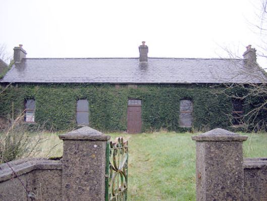 Lake Viewhouse · 343 yd
 The SpectaclesVisitor information · 700 yd
 530 ft. ODCairn, ring-cairn · 773 yd
 Pit-burial in LoughgurPit-burial · 773 yd
 Lough Gur Heritage CentreVisitor information · 808 yd
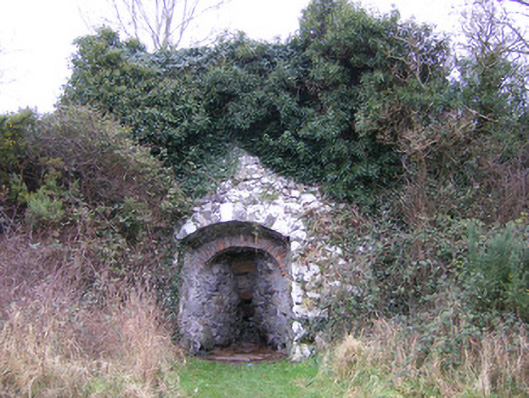 kilnkiln · 835 yd
 OultinedBawn · 935 yd
 Pedunculate OakPedunculate Oak · 1113 yd
 Garret IslandCastle, unclassified · 1628 yd
 Grange Stone CircleArchaeological place · 1.3 mi
 Lough GurVisitor information · 1.4 mi
 Banoge's WellSpring · 1.9 mi