
What is recorded here
In pasture 95m E of a roadway that marks the townland boundary with Tobernea West. Not depicted on OSi historic maps. A possible bowl-barrow (LI047-090002-) lies 65m to NE. Identified as a possible bowl-barrow by Matt Kelleher when visited on the 12/04/1997. Visible as a circular-shaped cropmark (diam. c. 9m) on Digital Globe orthoimage taken between 2011-13. No surface remains visible on Google Earth orthoimages dated 14/09/2019.
See attached Google Earth orthoimages.
Compiled by: Martin Fitzpatrick
Date of upload: 25 August 2021
The monument record does not grant public access. Check the route and ask the landowner before entering private land.
- What survives
- Recorded monument
Places near here
 Site of CastleCastle, unclassified · 541 yd
 Tobernea Housepresbytery/parochial/curate's house · 1055 yd
 Knockannaskeagh FortsFairy fort / earthen ringfort · 1108 yd
 Castle (in ruins)Castle, unclassified · 1224 yd
 Enclosure in BrickfieldEnclosure · 1282 yd
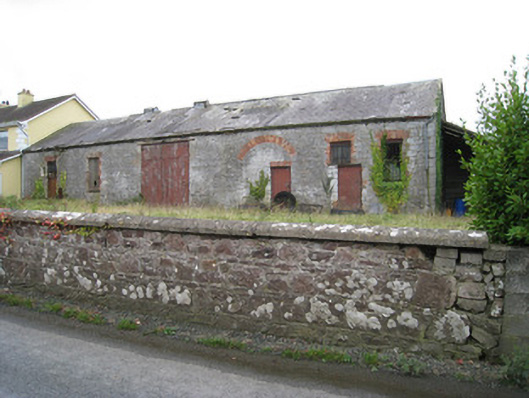 Effin Creameycreamery · 1644 yd
 Lady's WellSpring · 1.1 mi
 ToberSpring · 1.2 mi
 Caher HillMountain / peak · 2.5 mi
 King John's CastleCastle · 2.7 mi
 BallinaboolaVisitor information · 3.4 mi
 Holy Cross CemeteryGraveyard · 3.7 mi
Other information
Photo: Credit not shown in the picture search · Rights wording not checked; contact us if this picture should be removed