What is recorded here
One of a cluster of 6 barrows (LI014-162/164/155001/155002/156----) in wetland, located to the immediate SW of large barrow (LI014-155001-). Identified by Melanie McQuaid, archaeologist, Forestry Service Inspectorate, Dept .of Agriculture, Food and the Marine in 2016 during site inspection of forestry drains and removal of saplings. The site was described as following; ‘It measures c. 19m in diameter (north-south and c. 0.6m high. It is cut by three forest drains and at the time of inspection the only indicator of archaeological material evident in the drain face or the minds created from the excavated soil was a small charred black fragment of bone’. McQuaid concludes that this monument is a geomorphic feature (McQuade 2016). The possible monument is visible as a circular green-coloured area on the Digital Globe orthoimage and on Google Earth image taken in 2006 and 2017.
See attached Google earth orthoimages
Compiled by: Fiona Rooney
Date of upload: 3 July 2020
A Bronze Age barrow, part of a cluster in a wetland area; its grouping suggests ritual or funerary significance typical of early Irish burial practices.
The monument record does not grant public access. Check the route and ask the landowner before entering private land.
- What survives
- Recorded monument
Places near here
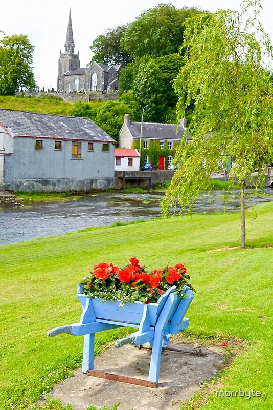 BarrowBarrow, ring-barrow · 19 yd
 CastleCastle, unclassified · 483 yd
 Water millWater mill, unclassified · 664 yd
 Field system in KnockaneaField system · 726 yd
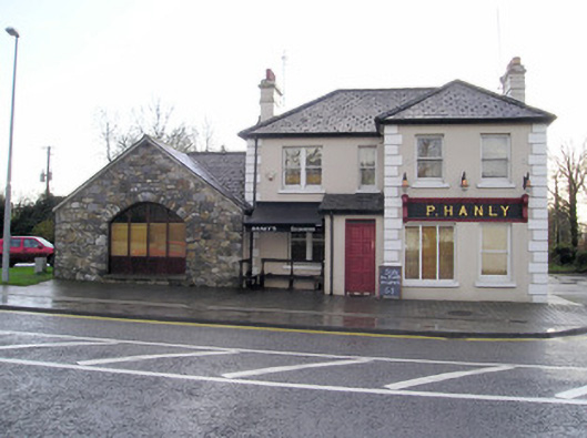 P. Hanlyhouse · 1092 yd
 TowerCastle, unclassified · 1354 yd
 St Lawrence's WellSpring · 1.8 mi
 Graveyard in AbingtonGraveyard · 2.7 mi
 Sliev Felim WayVisitor information · 4.2 mi
 Banoge's WellSpring · 5.1 mi
 Skool HillMountain / peak · 5.1 mi
 KnockseefinMountain / peak · 5.4 mi