What is recorded here
In level, wet pasture, 135m NE of a townland boundary with Brackloon. A ring-barrow (LI024-060----) lies 170m to NW. Not depicted on OSi historic maps. Monument surveyed by the ASI in 2008 and described as an oval-shaped area (5.25m NNE-SSW; 7m WNW-ESE) defined by a scarp (Wth 1.5-1.8m; H 0.35-0.45m). The interior is grass covered. A dry land drain to N which runs WNW-ESE is channelled toward a pond 40m to WNW. Monument is visible as an oval-shaped earthwork on OSi orthoimage taken 2005-2012 and on Google Earth orthoimage taken 28/06/2018.
See attached Google Earth orthoimage taken 28/06/2018.
Compiled by: Alison McQueen and Vera Rahilly
Date of upload: 14 October 2020
A ring-barrow, likely dating to the Early Christian or medieval period; its significance is primarily local, though such monuments often reflect early burial practices in the region.
The monument record does not grant public access. Check the route and ask the landowner before entering private land.
- What survives
- Recorded monument
Places near here
 Grave Yd.Graveyard · 999 yd
 (Site of) Toughcluggin ChurchChurch · 1013 yd
 (Site of) Castle ClugginCastle, unclassified · 1139 yd
 Shandangan Bridgebridge · 1.0 mi
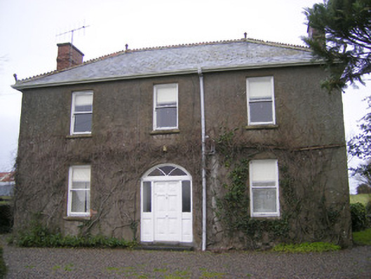 Foxfieldhouse · 1.2 mi
 CloghadaltonCastle, unclassified · 1.5 mi
 Oola HillMountain / peak · 2.1 mi
 ToberagaddySpring · 2.1 mi
 KnockseefinMountain / peak · 3.5 mi
 St. Patrick's WellSpring · 5.4 mi
 Flat cemetery in Knockainy WestFlat cemetery · 9.2 mi
 Megalithic tomb in Garryduff (coonagh By.)Megalithic tomb · 1459 yd