What is recorded here
On a low rise of ground with good views of the surrounding countryside. Cairn (WM040-002----) located 140m to S. No surface remains visible of a small mound depicted on the current ed. OS 6-inch map. Not indicated on the 1837 ed. OS 6-inch map. The depiction of this monument suggests that it may have been a barrow.
Compiled by: Caimin O'Brien
Date of upload: 01 August 2013
The monument record does not grant public access. Check the route and ask the landowner before entering private land.
- What survives
- Recorded monument
Places near here
 BarrowBarrow, ring-barrow · 1042 yd
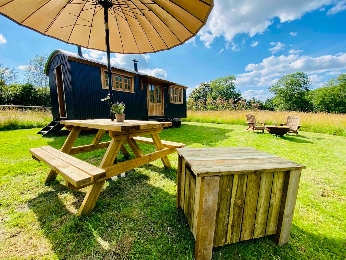 Hut site in BalleekHut site · 1087 yd
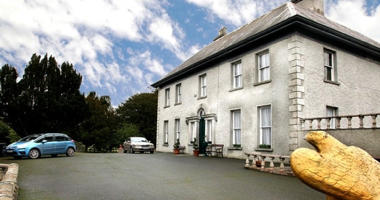 Ballybought HouseRuins · 1407 yd
 Durrow HillMountain / peak · 1561 yd
 Shancourt or MeeneglishCastle, unclassified · 1728 yd
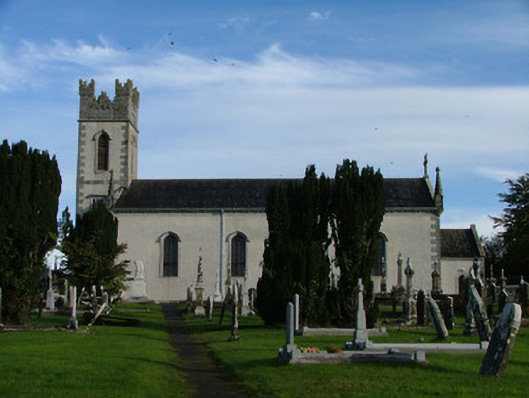 Saint Columba's Catholic Churchchurch/chapel · 1.2 mi
 St. Columba's WellSpring · 1.6 mi
 Bonfire HillMountain / peak · 1.6 mi
 High WoodWood · 1.8 mi
 Durrow MoatCastle, motte · 1.8 mi
 Bracklin WoodWood · 2.0 mi
 Grand Canal WayWalking route · 3.8 mi