What is recorded here
Barrow stands on a drumlin summit in County Cavan, marked as a fort on nineteenth-century maps yet stripped of its entrance and identity. A circular space eleven metres wide remains inside a shallow ditch and low bank, now choked with vegetation. The lost gateway and forgotten builders have vanished into the grass, leaving only a hidden room waiting for someone brave enough to imagine its use.
Marked 'Fort' on OS 1836 and 1876 eds. Sited on the summit of a prominent drumlin hill. Raised circular area (int. diam. 11.3m) enclosed by a berm (Wth 4.4m), a poorly defined shallow fosse (Wth 2.3m) and a low earthen bank. Original entrance not recognisable. Overgrown with vegetation.
The above description is derived from the published 'Archaeological Inventory of County Cavan' (Dublin: Stationery Office, 1995). In certain instances the entries have been revised and updated in the light of recent research.
Date of upload/revision: 22 December 2008
The monument record does not grant public access. Check the route and ask the landowner before entering private land.
- What survives
- Recorded monument
Places near here
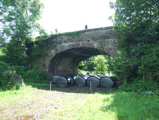 bridgebridge · 406 yd
 RuinsHouse, fortified house · 674 yd
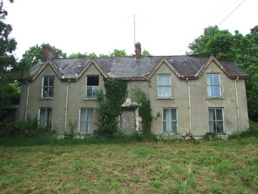 Killynurehouse · 700 yd
 SycamoreSycamore · 750 yd
 Clonandra Ramulligan Bog WoodWood · 795 yd
 DrumakeenanMountain / peak · 807 yd
 IndicatedEcclesiastical enclosure · 1.0 mi
 ClonandraMountain / peak · 1.0 mi
 Holy WellHoly well · 1.1 mi
 Bawn in KillyfanaBawn · 1.2 mi
 Garden IsleIslet · 3.7 mi
 Annagh Lough BeachBeach / strand · 4.0 mi