What is recorded here
Situated on a generally level area, in low-lying pasture, which is overlooked by higher, gently undulating pasture to E, S and W where views are restricted. A pond lies c. 45m to N and barrows (WM020-112----/113----/114----) lie c. 240m to SW. Townland boundary with Rathnarrow lies 35m to S. Monument (overall diam. 27m) described in 1970 as a circular-shaped round-topped mound (approx. diam. 8m) defined by a wide berm and a shallow flat-bottomed fosse (Wth at top 3.6m; basal Wth 1.9m; D 0.4m) that is almost filled in at E and from S-W. There is a modern quarry hole on the top of the mound at W. Monument is visible as a roughly circular shaped earthwork on Digital Globe aerial photography.
Compiled by Alison McQueen, Vera Rahilly and Caimin O’Brien.
Date of upload: 08 July 2019
Stepped barrow, likely dating to the Early Bronze Age. Its stepped construction is characteristic of funerary monuments in Atlantic Europe, reflecting ritual practices and social organisation of the period.
The monument record does not grant public access. Check the route and ask the landowner before entering private land.
- What survives
- Recorded monument
Places near here
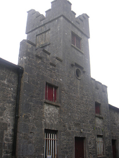 Lisnabin Castlestables, outbuilding · 694 yd
 EnclosureEnclosure, large enclosure · 811 yd
 TobermíonadHoly well · 1074 yd
 Bawn in Kerinstown and Balrowan (rowley)Bawn · 1099 yd
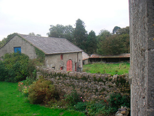 Huntingdon Houseoutbuilding · 1527 yd
 Edmondstown Castle (in Ruins)Castle, tower house · 1.1 mi
 GinkgoGinkgo · 3.7 mi
 ScregganWood · 6.1 mi
 Croppies' GraveMemorial · 9.0 mi
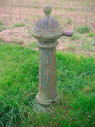 water pumpwater pump · 1567 yd
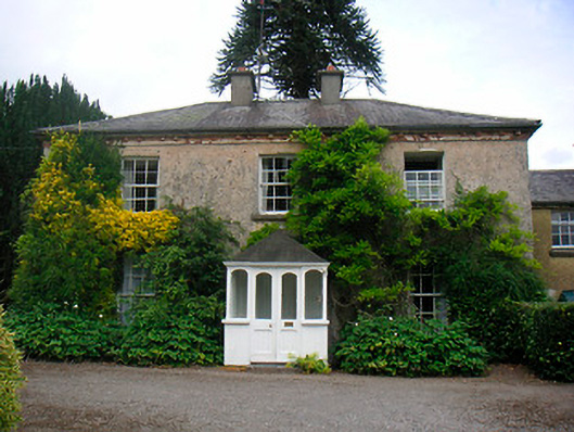 Greenhillshouse · 1.1 mi
 Site of ChurchChurch · 1.1 mi