What is recorded here
On an ENE-facing slope in low-lying pasture. A low, almost D-shaped, mound of earth and stone (dims. at base 9.3m ENE-WSW; 6.9m NNW-SSE; H 0.8m) with the straight side at SSE. It is enclosed by a wide, very low bank of earth and stone (Wth 6.2m; H 0.1m) from WSW-N-NNE. Elsewhere no visible surface trace of the bank survives. An embanked barrow (LF015-037001-) lies c. 5m to the S.Compiled by: Patrick F. O'Donovan
Date of upload: 24 November 2011
Stepped barrow, likely dating to the Late Neolithic or Early Bronze Age. This type of monument is significant as it reflects early funerary and ritual practices in the region, though its specific cultural context remains poorly understood due to limited recorded details.
The monument record does not grant public access. Check the route and ask the landowner before entering private land.
- What survives
- Recorded monument
Places near here
 BarrowBarrow, embanked barrow · 11 yd
 Enclosure in CartronreaghEnclosure · 305 yd
 RuinsCastle, unclassified · 918 yd
 CastleCastle, ringwork · 1134 yd
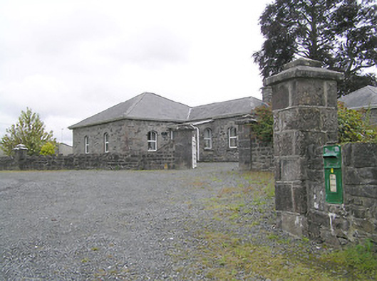 Lissard Housegates/railings/walls · 1461 yd
 Church in FirmountChurch · 1487 yd
 Oldtown DemesneForest · 3.7 mi
 Ballinalee Forest WalkForest · 3.7 mi
 Bully's Acregraveyard/cemetery, unknown · 4.1 mi
 Granard MotteMotte-and-bailey castle remains · 6.0 mi
 1798 Monumentmonument · 6.1 mi
 Graveyard in Curry (ardagh By., Coolamber Ed)Graveyard · 8.7 mi