What is recorded here
In level pasture, in NE corner of field. Raised circular area (diam. c. 20m) defined by low earthen scarp (Wth 3.8m; H 0.75m). External fosse (Wth 9m top; 2m at base; D 0.6m). Remains of an outer bank (Wth 3.6m; int. H 0.6m; ext. H 0.45) NE-SE, becomes thinner SE-WSW, eventually petering out. Causewayed entrance (Wth 5m) through outer bank, across fosse and through inner scarp (Wth 2.8m) into interior. Slightly raised (H 0.15m) circular area (diam. c. 5m) within centre of interior and with inner scarp sloping gently down toward it, gives impression of slight internal fosse. Arc of outer bank truncated very slightly to N by field boundary (long-axis E-W). Field boundary also close to E. Enclosure (TS068-035----) c. 80m to SSW.
Compiled by: Jean Farrelly
Date of upload: 26 August 2011
A ring-barrow, likely dating to the Early Bronze Age, associated with burial practices involving a central cairn or barrow within a ditch and bank. Its earthwork structure and location suggest it may have been part of a wider ceremonial or funerary landscape.
The monument record does not grant public access. Check the route and ask the landowner before entering private land.
- What survives
- Recorded monument
Places near here
 Enclosure in Thomastown Demesne SouthEnclosure · 127 yd
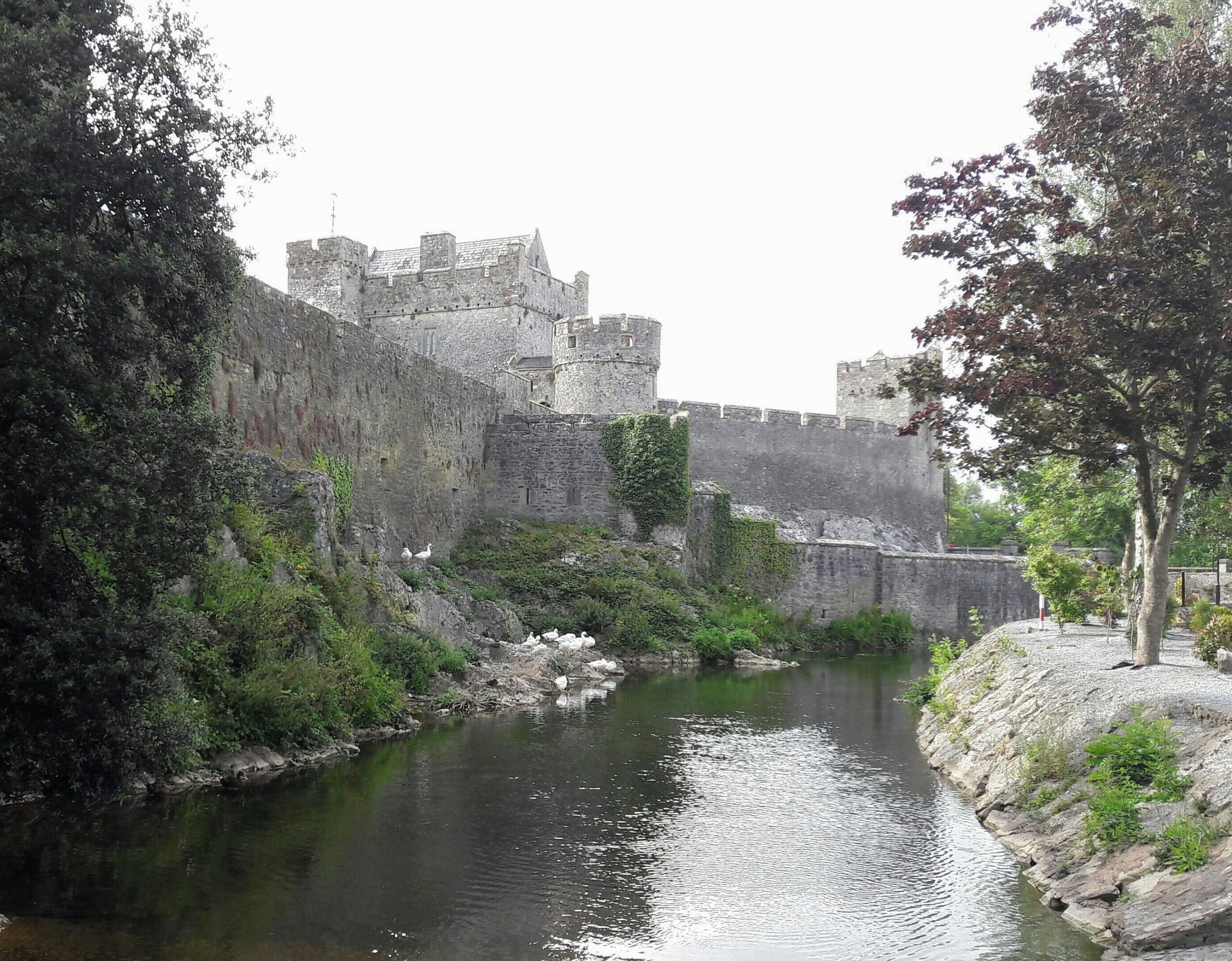 Ballymacady CastleCastle · 1137 yd
 Enclosure in TemplenahurneyEnclosure · 1142 yd
 CastleCastle, ringwork · 1389 yd
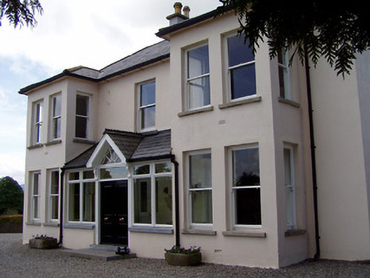 Rathduff Househouse · 1.1 mi
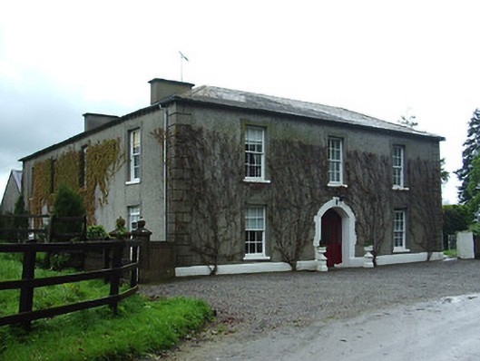 Bansha Housecountry house · 1.1 mi
 Athassel PrioryHeritage attraction · 2.6 mi
 European ashEuropean ash · 3.0 mi
 Bansha ForestForest · 3.5 mi
 I.R.A. 3rd. Tipperary Brigade MemorialMemorial · 4.6 mi
 SturrakeenMountain / peak · 5.1 mi
 The RockViewpoint · 5.3 mi