What is recorded here
Situated on a generally level area, in low-lying pasture, which is overlooked by higher, gently undulating pasture to E, S and W where views are restricted. Barrows (WM020-112----/114----) lie c. 15m to E and c. 14m to N, respectively. Not depicted on the 1837 ed. OS 6-inch map or on the revised 1913 ed. OS 25-inch map. Monument described in 1970-2 as a small circular area (dims. 8.5m ESE-WNW; 7m NNE-SSW) defined by a wide, shallow fosse. The remains of a slight bank are present along the outer edge of the fosse. Outline of monument is barely visible on Digital Globe aerial photography.
See attached OS 25-inch map showing location of barrow.
Compiled by Alison McQueen, Vera Rahilly and Caimin O’Brien.
Date of upload: 08 July 2019
A ring-barrow, likely dating to the Early Bronze Age, associated with a burial tradition of circular earthen mounds. Its location suggests a possible ritual or territorial significance within a broader barrow group.
The monument record does not grant public access. Check the route and ask the landowner before entering private land.
- What survives
- Recorded monument
Places near here
 CastleCastle, tower house · 802 yd
 Bawn in Kerinstown and Balrowan (rowley)Bawn · 847 yd
 EnclosureEnclosure, large enclosure · 977 yd
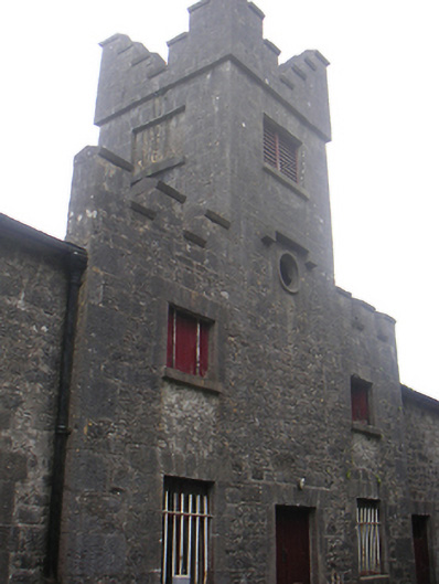 Lisnabin Castlestables, outbuilding · 989 yd
 TobermíonadHoly well · 1115 yd
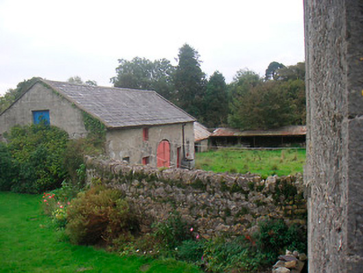 Huntingdon Houseoutbuilding · 1649 yd
 GinkgoGinkgo · 3.8 mi
 ScregganWood · 6.2 mi
 Croppies' GraveMemorial · 9.0 mi
 Site of ChurchChurch · 1708 yd
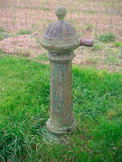 water pumpwater pump · 1.0 mi
 Partially HachuredFairy fort / earthen ringfort · 1.1 mi