
What is recorded here
From the National Monuments Service (Archaeological Survey of Ireland) record KD023-124
Places near here
Photo credits
- Maker not stated on source page, stablediffusionweb.com
- Maker not stated on source page, commons.wikimedia.org
- Maker not stated on source page, ru.pinterest.com
- Maker not stated on source page, allthatsinteresting.com
- Maker not stated on source page, www.churchservices.tv
- Anna Watson, Wikimedia Commons
- JNC Premier Pitches, contractor and source; individual aerial photographer not stated, www.linkedin.com
- Chhe ( talk ), Wikimedia Commons · Public domain
- Andreas F. Borchert, Wikimedia Commons · CC BY-SA 4.0
- Colin Park, Geograph · CC BY-SA 2.0
- Jonathan Billinger, Wikimedia Commons · CC BY-SA 2.0
 CastleCastle, ringwork · 245 yd
Explorer Tom Castle in Pollardstown claims its celebrity friend is a horse who got famous for eating a helmet on site. It’s levelled…
 Fairy fort / earthen ringfort in PollardstownFairy fort / earthen ringfort · 313 yd
Explorer Tom Fairy fort in Pollardstown would tell the quarry that replaced it to grow up and stop digging holes. It was there…
 Mapped graveyardGraveyard · 689 yd
Explorer Tom Mapped graveyard in Kildare is run by a very serious dog who barks at anyone looking at their headstones. He claims he…
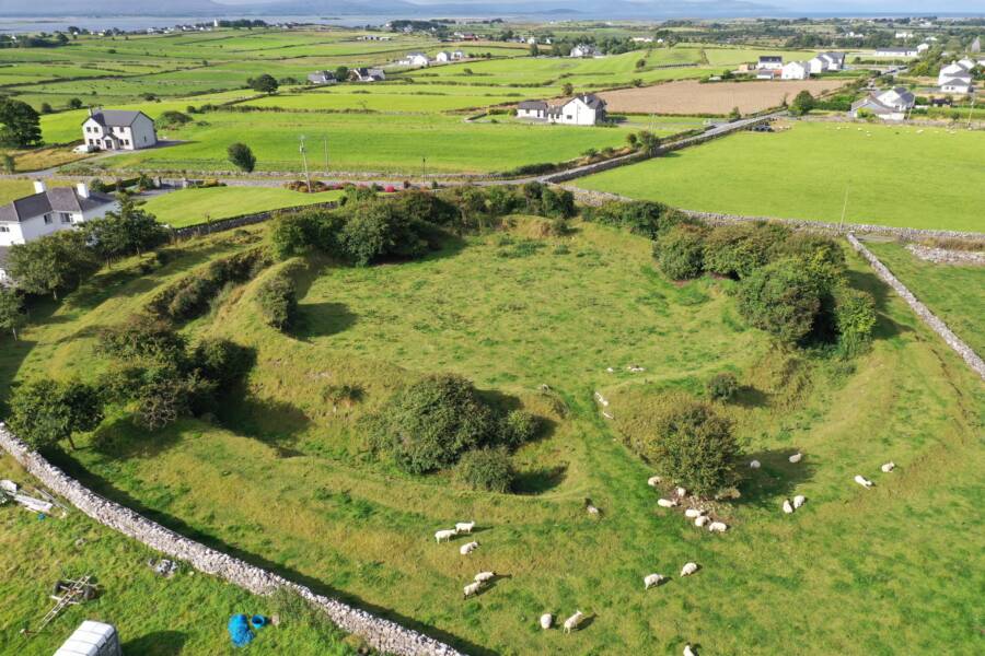 Fairy fort / ringfort in MorristownbillerFairy fort / ringfort · 1090 yd
Explorer Tom Fairy fort / ringfort in Morristownbiller is an oval that thinks it has a fan club, but the members are just confused…
Fairy fort / ringfort in CornelscourtFairy fort / ringfort · 1227 ydExplorer Tom Cornelscourt has a local bloke who claims he personally invented this fairy fort for fun. It’s just a thirty-two-metre…
 Church in ruinsChurch · 1241 yd
Explorer Tom Church in ruins in Pollardstown was built using a bargain where the stones were free if you didn't mind the mess. It’s…
 Pollardstown Fen Nature ReserveNature reserve · 1267 yd
Explorer Tom Pollardstown Fen is not the sort of place that shouts for attention. A boardwalk carries you above reeds and wet ground…
 Moorefield GAA ClubGAA ground · 1352 yd
Explorer Tom Moorefield’s Newbridge ground has a Kildare football calendar and a sideline that seems capable of coaching from both…
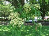 Bee-bee tree3.5 mi
Explorer Tom Bee-bee tree in County Kildare is a secret-keeper that only talks after three pints of rain. It’s got a story about…
 Grey Abbey (in Ruins)Religious house, Franciscan friars · 3.6 mi
Explorer Tom Grey Abbey is where the whole parish argued about whether the coffee was too strong or the sermon too long. The…
 LobawnMountain / peak · 16 mi
Explorer Tom Lobawn in County Wicklow is playing hide-and-seek with me, hiding behind its own boring boundary stone which claims…
 SugarloafMountain / peak · 16 mi
Explorer Tom Tell someone you climbed Sugarloaf and they may picture the wrong Wicklow mountain entirely. This one stands west of…
More archaeology and monuments in County Kildare · All of County Kildare

What do you know about this place?Tap to add a comment or ask a question