What is recorded here
Situated in a low-lying landscape. Traces of a ring-barrow showing as cropmark of two concentric ditches (int. diam. c. 30m; ext. diam. c. 45m) are visible on aerial photograph (ACAP) (Buckley 1987, 20-1). It is also visible on OSI aerial images (1995).
The above description is derived from both the published 'Archaeological Inventory of County Louth' (Dublin: Stationery Office, 1986) and the 'Archaeological Survey of County Louth' (Dublin: Stationery Office, 1991). In certain instances the entries have been revised and updated in the light of recent research.
Date of revision: 27 Octob3r 2015
A ring-barrow, likely dating to the Early Bronze Age, characterized by concentric ditches visible as cropmarks. Its presence indicates a prehistoric burial tradition in the low-lying landscape of Nicholastown.
The monument record does not grant public access. Check the route and ask the landowner before entering private land.
- What survives
- Recorded monument
Places near here
 Enclosure in LurganboyEnclosure · 333 yd
 Enclosure in PortEnclosure · 743 yd
 Church (in ruins)Church · 1421 yd
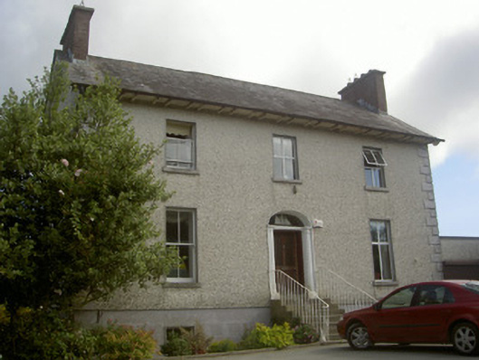 Seaview Househouse · 1656 yd
 IndicatedCastle, tower house · 1.7 mi
 Moneyveg WoodForest · 2.2 mi
 Graveyard in DysartGraveyard · 2.3 mi
 Sweet baySweet bay · 2.5 mi
 BarmeathCastle, tower house · 2.5 mi
 Chapel (in Ruins), GraveyardChurch · 2.6 mi
 Tullydonnell HillMountain / peak · 3.0 mi
 MonasterboiceEarly monastic site · 6.7 mi