
What is recorded here
In reclaimed pasture 140m W the townland boundary with Ballygubba North. Depicted on the 1840 ed. OSi 6-inch map as a circular-shaped earthwork. Shown on the 1897 ed. OSi 25-inch map as a roughly circular-shaped area (diam. c. 16m) defined by a scarp with fosse and outer bank truncated at S by drainage ditch running E-W. Levelled monument visible as a circular-shaped cropmark on OSi orthophoto taken between 2005-12. Outline of levelled ring-barrow (overall diam. c. 32m) visible on Google Earth orthoimages visible to the immediate N of a drainage ditch running E-W.
See attached Google Earth orthoimages.
Compiled by: Martin Fitzpatrick
Date of upload: 6 May 2021
A ring-barrow, likely dating to the Early Bronze Age. Its circular earthwork suggests a funerary monument, common in the Irish and British Bronze Age landscape.
The monument record does not grant public access. Check the route and ask the landowner before entering private land.
- What survives
- Recorded monument
Places near here
 Lisheen, hachuredFairy fort / earthen ringfort · 950 yd
 Partially hachuredQuarry · 1320 yd
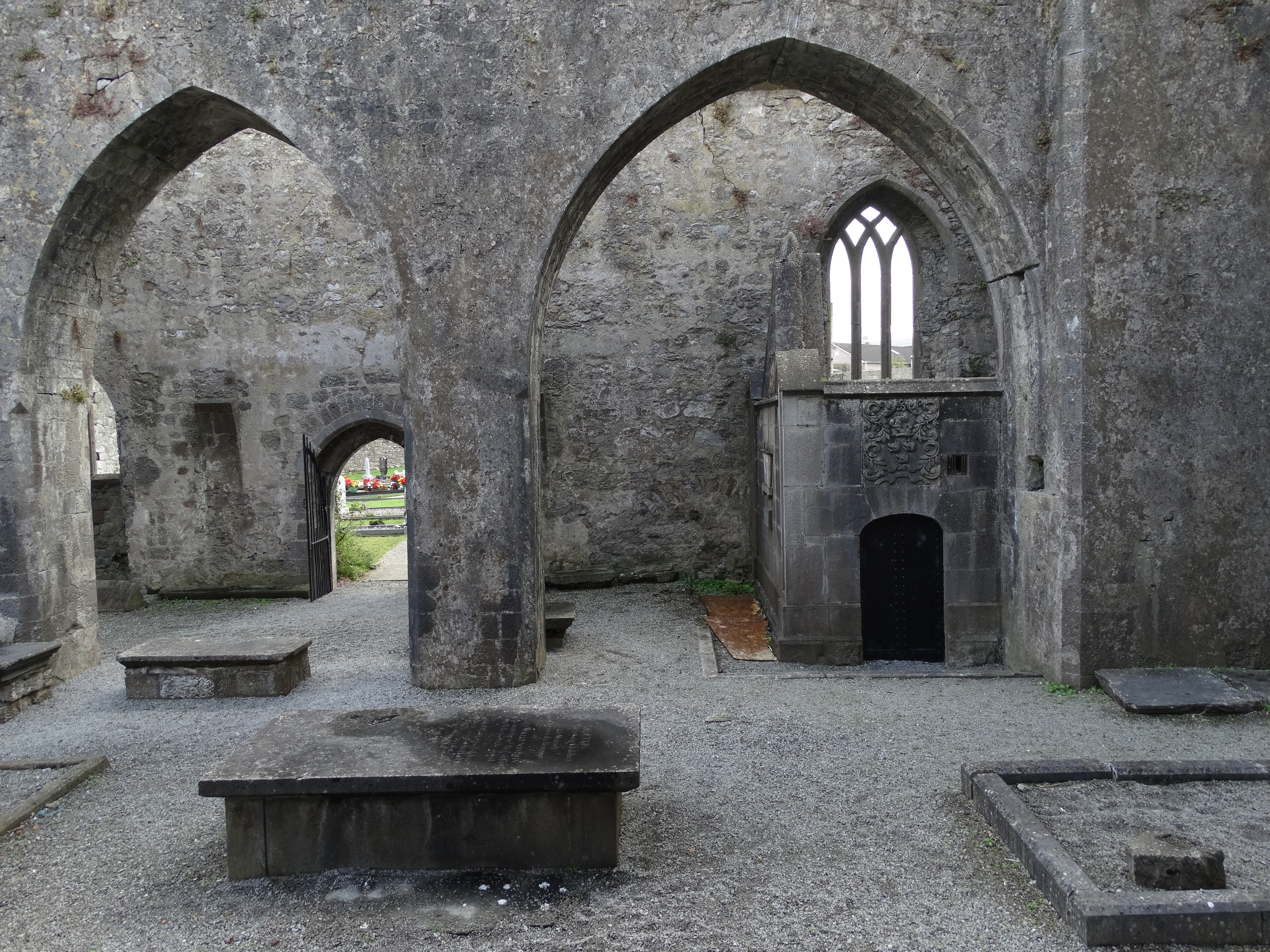 Kilmallock Church (in ruins)Church · 1539 yd
 Site of CastleCastle, unclassified · 1.2 mi
 Outwork in Ash HillOutwork · 1.3 mi
 Kilmallock AbbeyHeritage attraction · 1.4 mi
 Bawn in MaidstownBawn · 1.5 mi
 King John's CastleCastle · 1.5 mi
 St Bridget's WellSpring · 3.2 mi
 Lady's WellSpring · 4.1 mi
 Holy Cross CemeteryGraveyard · 5.9 mi
 Glen BogForest · 6.2 mi
Other information
Photo: Credit not shown in the picture search · Rights wording not checked; contact us if this picture should be removed