What is recorded here
In pasture, on top of a hill with excellent views of the surrounding undulating landscape.
Not shown on any edition of the OS 6-inch maps. Raised circular area (6m NW-SE; NE-SW; H 0.6m) enclosed by a fosse (Wth 1.5-2m) with an external bank (Wth 2.4m; int. H 0.3-0.4m; ext. H 0.3m at NW, 0.7m at SW). Overall diam. (bank to bank): c. 12m
The central mound is slightly domed in profile. An eroded portion of the mound at N reveals a makeup of large angular stones and gravelly earth. The fosse and external bank are rather poorly defined, but the external bank is enhanced by the natural fall of ground at SW−N. There is a low area or break (Wth 0.5m) in the bank at SSW. A straight NW−SE field wall clips the outer edge of the bank at N−NE and remnants of another field fence at SE merge with the bank at SE. Three thorn bushes growing on the central mound.
Compiled by: Jane O’Shaughnessy
Date of upload: 8 December 2021
A Neolithic ring-barrow, dating to approximately 3500–2500 BCE, likely used as a single or multiple burial monument. Its location on a prominent hilltop suggests ritual or ceremonial significance, reflecting the importance of landscape and visibility in Neolithic funerary practices.
The monument record does not grant public access. Check the route and ask the landowner before entering private land.
- What survives
- Recorded monument
Places near here
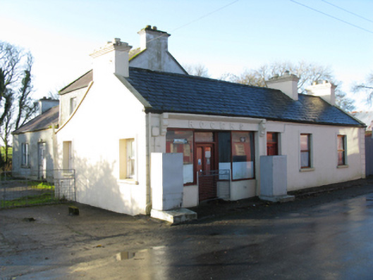 Rogershouse · 786 yd
 IndicatedFairy fort / earthen ringfort · 799 yd
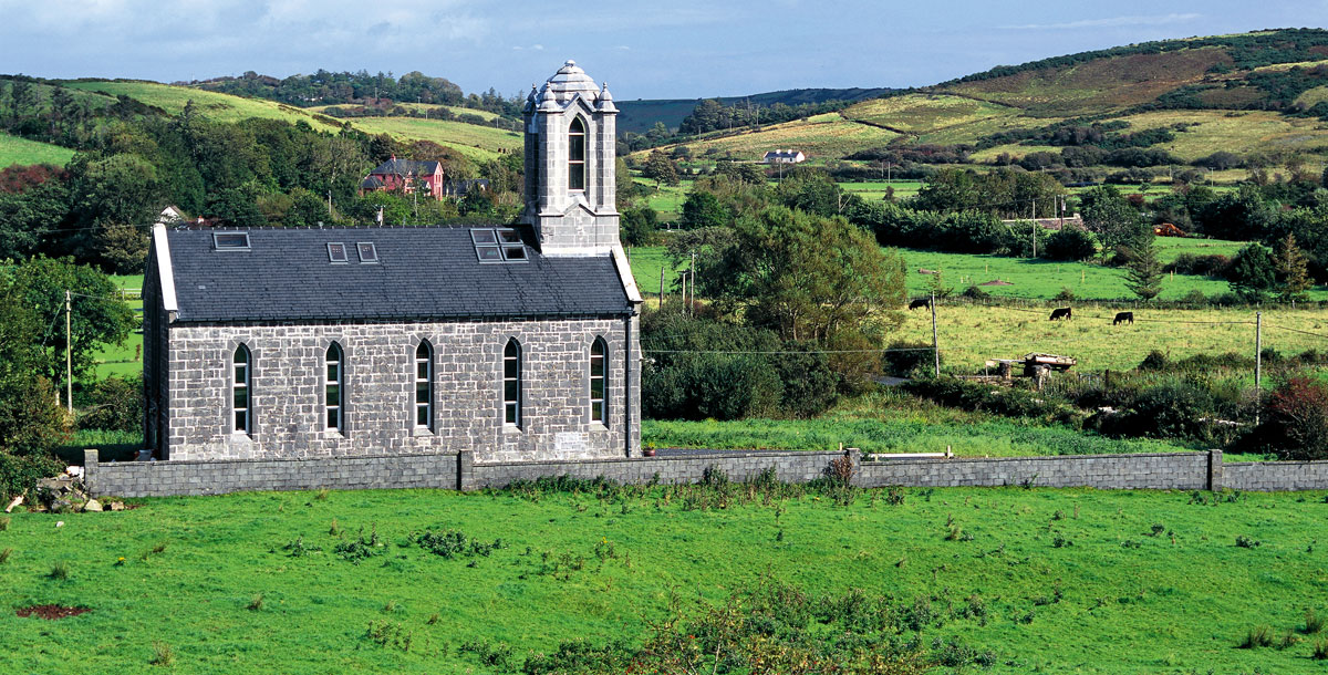 Chapel in ruinsChapel · 812 yd
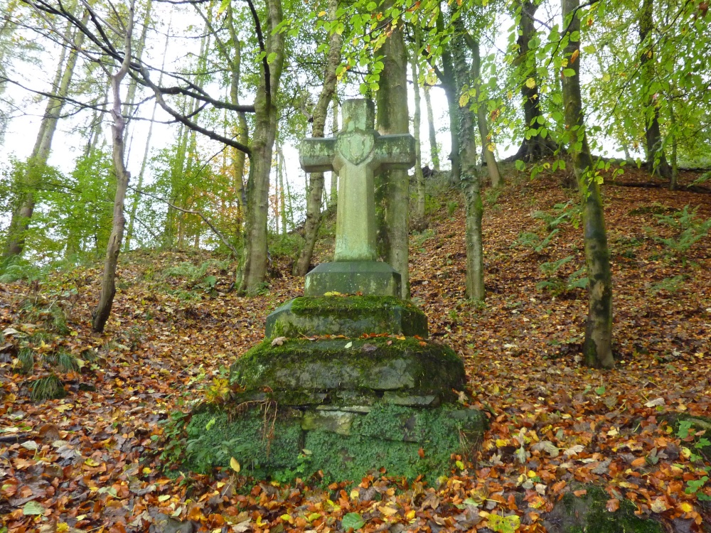 Stone CrossCross · 1275 yd
 CastleCastle, unclassified · 1612 yd
 Rath Castle in ruinsCastle, tower house · 1.4 mi
 East Mayo Brigade MonumentMemorial · 2.7 mi
 Knock ShrineHeritage attraction · 4.1 mi
 Knock MuseumMuseum · 4.1 mi
 I'll Send You The FareMemorial · 6.9 mi
 Thorn CaveCave · 7.7 mi
 Oak WoodForest · 11 mi