What is recorded here
Carrowneden held a circular fort on a rising patch of pasture, overlooking the southeast distance before ploughs and wheels erased its banks. A hidden cave still lies buried in the southwest grass, waiting for someone brave enough to dig through the soil and remember the dark. The fairies kept their fortress there long before humans forgot the shape of the hole.
In pasture, on a rise with a gradual fall of ground to SW, and affording extensive views, especially to SE.
This rath is not shown on the 1838 OS 6-inch map; it is shown on the 1916 edition as a circular enclosure with remains of a fosse and external bank at SW−NE, and a Man-made underground passage (MA093-001002-), indicated as ‘Cave’, in the SW quadrant.
It has been levelled. This occurred at some date prior to 1984 when the rath was first inspected (SMR file). Inspected again in 1998, the outline of a roughly circular enclosure (diam. c. 30-35m) can still be traced as a slightly raised area of rough stony ground, merging with the natural slope on the W half. There are no upstanding remnants of the enclosing banks. The interior is dotted with heaps of field clearance stones; overgrowth-covered remnants of the Man-made underground passage (MA093-001002-) are visible in the SW sector. A short length of field wall extends across the SW edge of the rath.
Compiled by: Jane O’Shaughnessy
Date of upload: 14 June 2022
The monument record does not grant public access. Check the route and ask the landowner before entering private land.
- What survives
- Recorded monument
Places near here
 IndicatedFairy fort / earthen ringfort · 914 yd
 Kilronan WellHoly well · 1101 yd
 Mannin Housefarm house · 1711 yd
 CastleCastle, unclassified · 1750 yd
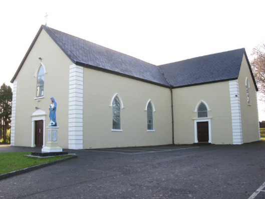 Saint Joseph's Catholic Churchchurch/chapel · 1.2 mi
 Rath Castle in ruinsCastle, tower house · 2.1 mi
 East Mayo Brigade MonumentMemorial · 3.9 mi
 Knock MuseumMuseum · 4.7 mi
 Knock ShrineHeritage attraction · 4.7 mi
 I'll Send You The FareMemorial · 8.2 mi
 Thorn CaveCave · 9.1 mi
 Oak WoodForest · 11 mi