What is recorded here
In improved pasture, on a very gentle W-facing slope in undulating field, on higher ground flanking the E and SE side of a former lake, which has been dry since drainage activities took place in the 1870s/1880s. Identified during field survey by Alison McQueen and Vera Rahilly (28 November 2008). A ditch barrow and ring-barrow (TS066-179----; TS066-180----) are located 9m and c. 56m to SSW and SW respectively. A circular area (dims. 4.6m N-S; 5.0m E-W) defined by a distinctive fosse (basal Wth 1.15m; overall Wth 2.9m; D 0.15m) and an outer bank (Wth 4.4m; int. H 0.15m; ext. H 0.2m) best defined SW-N-E. The interior is generally level and sloping down gently around the perimeter to the fosse.
Compiled by: Jean Farrelly
Date of revised upload: 9 September 2014
The monument record does not grant public access. Check the route and ask the landowner before entering private land.
- What survives
- Recorded monument
Places near here
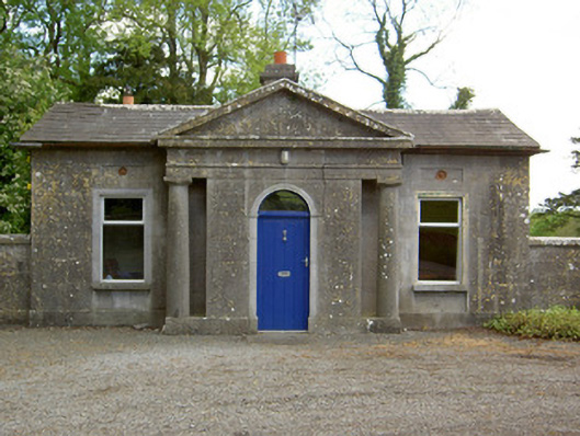 Mooresfort Housegate lodge · 389 yd
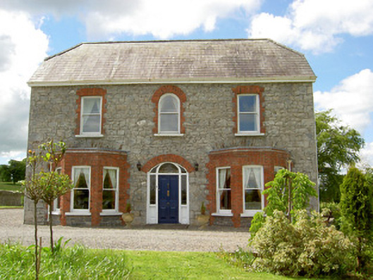 Saint Joseph'shouse · 1495 yd
 CastleCastle, ringwork · 1537 yd
 Enclosure in MooresfortEnclosure · 1.1 mi
 Enclosure in Lattin WestEnclosure · 1.1 mi
 MoatCastle, motte · 1.8 mi
 SlievenamuckMountain / peak · 2.6 mi
 Carn (site of)Cairn, burial cairn · 2.7 mi
 Duntryleague HillMountain / peak · 3.4 mi
 Darby's Bed Walk LoopWalking route · 3.4 mi
 Bansha ForestForest · 3.6 mi
 Saint Patrick's WellSpring · 5.0 mi