What is recorded here
In pasture, on low rise with good views; overlooked by higher ground to S and N. A driveway to a house lies a few meters to E of the ringbarrow.
Not shown on any edition of the OS 6-inch maps. Low circular platform (diam. 2.7m; H 0.3m at NE, 0.45m at SW) enclosed by a fosse (Wth 1.5m) with an external bank (Wth 2-2.4m; int. H 0.3m; ext. H 0.35m at N, 0.5m at SW). Overall diam. (across ext. bank): 8.5m
The central platform has a slightly concave profile. The external bank is composed of gravelly earth incorporating some large stones. It is slightly damaged at S−SW by quarrying.
Compiled by: Jane O’Shaughnessy
Date of upload: 8 December 2021
The monument record does not grant public access. Check the route and ask the landowner before entering private land.
- What survives
- Recorded monument
Places near here
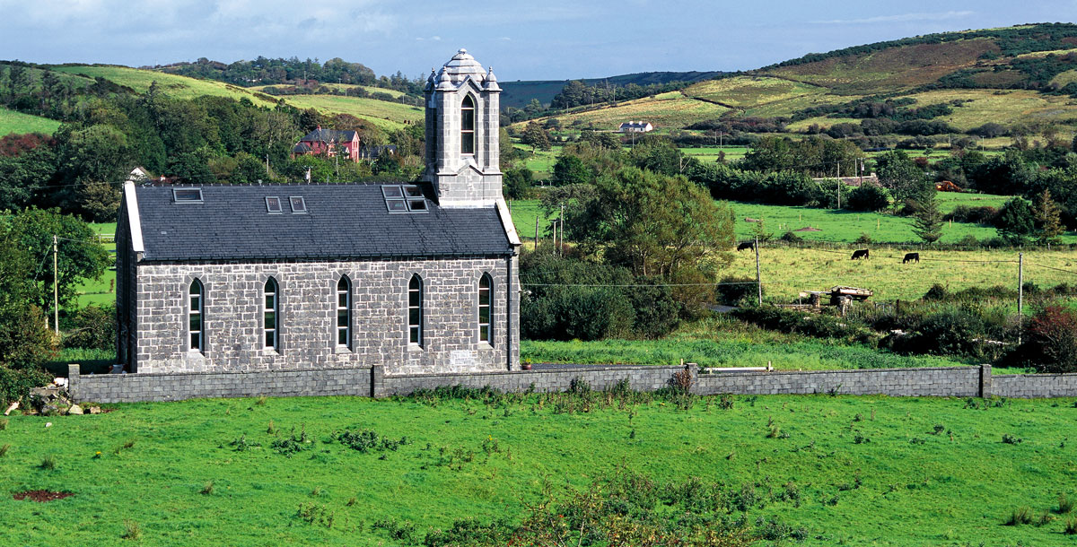 Chapel in ruinsChapel · 747 yd
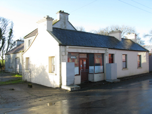 Rogershouse · 756 yd
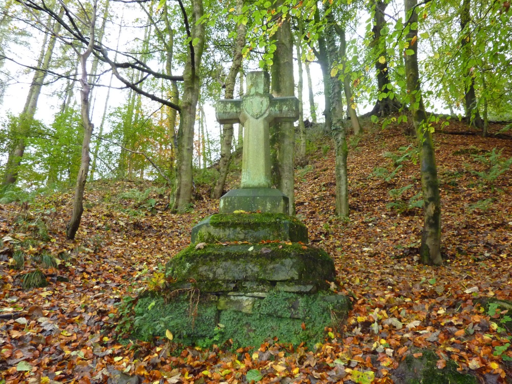 Stone CrossCross · 989 yd
 CashelFairy fort / stone ringfort · 1056 yd
 Rath Castle in ruinsCastle, tower house · 1.0 mi
 CastleCastle, unclassified · 1.4 mi
 East Mayo Brigade MonumentMemorial · 2.2 mi
 Knock ShrineHeritage attraction · 4.3 mi
 Knock MuseumMuseum · 4.3 mi
 I'll Send You The FareMemorial · 6.7 mi
 Thorn CaveCave · 7.3 mi
 Oak WoodForest · 11 mi