What is recorded here
Fairy fort in Rath, County Mayo, stood on a gradual NE-facing slope overlooking low-lying wet pasture, with Lough Caldragh c. 200m to N. The 1919 edition showed an oval hachured enclosure c. 20-25m NW−SE and c. 19m NE−SW, but the 1838 OS 6-inch map did not show it. It has since been levelled, leaving no visible trace at ground level.
In pasture, located on a gradual NE-facing slope, overlooking an expanse of low-lying wet pasture. Lough Caldragh is c. 200m to N, beyond which there is rising ground.
This possible rath is not shown on the 1838 OS 6-inch map, but is shown on the 1919 edition as oval hachured enclosure (c. 20-25m NW−SE; c. 19m NE−SW). It has been levelled and there is no visible trace at ground level.
Compiled by: Jane O’Shaughnessy
Date of upload: 7 December 2021
This remains an important historical record, but the official description says the monument is no longer visible or has been destroyed. The monument record does not grant public access. Check the route and ask the landowner before entering private land.
- What survives
- No visible remains or recorded as destroyed
Places near here
 IndicatedFairy fort / earthen ringfort · 591 yd
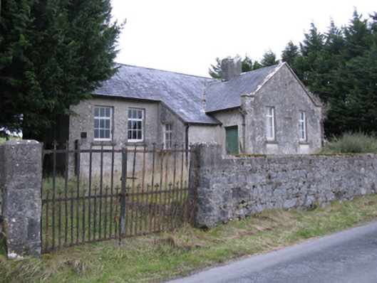 Saint Patrick's National Schoolschool · 833 yd
 Rath Castle in ruinsCastle, tower house · 1178 yd
 TobercoghlanHoly well · 1354 yd
 East Mayo Brigade MonumentMemorial · 1.5 mi
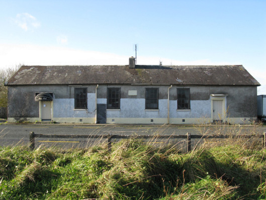 Doogary National Schoolschool · 1.5 mi
 CastleCastle, unclassified · 2.8 mi
 Knock ShrineHeritage attraction · 5.6 mi
 Knock MuseumMuseum · 5.7 mi
 Thorn CaveCave · 7.1 mi
 I'll Send You The FareMemorial · 7.1 mi
 Bawn IslandIslet · 16 mi