What is recorded here
In lowlying, rough pasture, located 5m S of a canalised stream and c. 70m SW of the shore of Lough Coughlan, and overlooked to SW by an esker/gravel ridge, now partly quarried out.
This holy well is indicated on the 1838 and 1919 OS 6-inch maps where it is named ‘Tobercoghlan’.
The well is entirely concealed by brambles and gorse, and is fenced off by post and wire fencing. Probing beneath the overgrowth suggests that it is enclosed by a stone wall, possibly forming a circular structure, diam. c. 1.8m and depth c. 1.2m.
Attached image: MA081-008----_01.JPG Location of well viewed from SW
Compiled by: Jane O’Shaughnessy
Date of upload: 6 December 2022
Linked to Saint Coghlan, the well is associated with cures for skin ailments and general healing. Local tradition holds that the saint founded a small monastic settlement in the area, and the site retains elements of early Christian pilgrimage practices.
The monument record does not grant public access. Check the route and ask the landowner before entering private land.
- What survives
- Recorded monument
Places near here
 IndicatedFairy fort / earthen ringfort · 517 yd
 East Mayo Brigade MonumentMemorial · 1456 yd
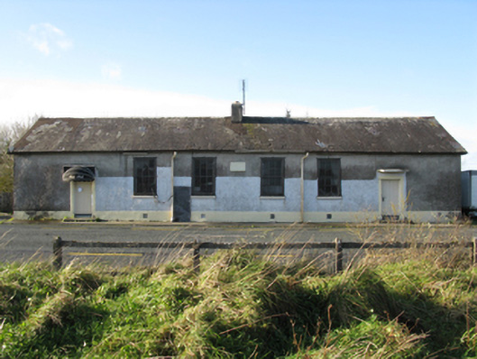 Doogary National Schoolschool · 1520 yd
 Derrymeel FortFairy fort / earthen ringfort · 1.0 mi
 Rath Castle in ruinsCastle, tower house · 1.2 mi
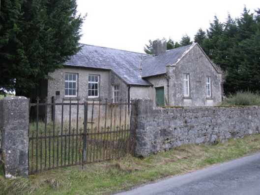 Saint Patrick's National Schoolschool · 1.2 mi
 CastleCastle, unclassified · 2.9 mi
 Knock ShrineHeritage attraction · 5.2 mi
 Knock MuseumMuseum · 5.2 mi
 Thorn CaveCave · 6.4 mi
 I'll Send You The FareMemorial · 6.4 mi
 Bawn IslandIslet · 17 mi
Other information
Photo: Credit not shown in the picture search · Rights wording not checked; contact us if this picture should be removed