
What is recorded here
In pasture, located on a low rise with good views.
A circular embanked enclosure (diam. 20-25m) is shown on the 1838 OS 6-inch map; it is depicted as a semicircular hachured feature, open to S on the 1919 edition.
This rath survives as a roughly semi-circular platform (24.7m E–W; c. 10m N–S) defined on the curving N half by a scarp (H 0.8m-1m). At W a short length of dilapidated earth and stone bank (Wth 2.8m; int. H 0.8m) tops the scarp. A roughly circular quarry pit (diam. c. 12m) has destroyed the S half of the interior.
Interior grassy with a few hawthorn bushes; perimeter ringed with hawthorn and blackthorn.
Compiled by: Jane O’Shaughnessy
Date of upload: 7 December 2021
The monument record does not grant public access. Check the route and ask the landowner before entering private land.
- What survives
- Recorded monument
Places near here
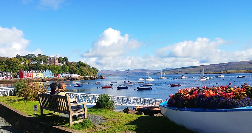 TobercoghlanHoly well · 517 yd
 Rath Castle in ruinsCastle, tower house · 1563 yd
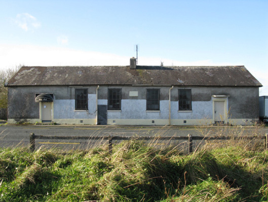 Doogary National Schoolschool · 1589 yd
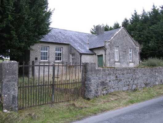 Saint Patrick's National Schoolschool · 1.1 mi
 Derrymeel FortFairy fort / earthen ringfort · 1.1 mi
 East Mayo Brigade MonumentMemorial · 1.1 mi
 CastleCastle, unclassified · 2.6 mi
 Knock ShrineHeritage attraction · 5.1 mi
 Knock MuseumMuseum · 5.2 mi
 I'll Send You The FareMemorial · 6.6 mi
 Thorn CaveCave · 6.6 mi
 Bawn IslandIslet · 17 mi
Other information
Photo: Credit not shown in the picture search · Rights wording not checked; contact us if this picture should be removed