
What is recorded here
In pasture, located on top of a low NW–SE ridge. There are extensive views N−SE, where ground falls steeply to lowlying, rush-grown wet pasture. Ground rises slightly to SW.
This rath is named ‘Derrymeel Fort’ on the 1838 and 1919 OS 6-inch maps. It consists of a circular platform (34m E–W; 31.5m N–S) defined by a scarp, and enclosed by a fosse with an external earthen bank, outside which is a second fosse with an external bank.
The platform scarp (ext. H 2.9m at NE, 2.3m at SW) is high and well defined with a hint of a raised internal lip at S and SW. The innermost fosse (Wth 3m at SW) is flat-based and well defined, with a well preserved bank (Wth 7.5m; int. H 1.75m; ext. H 2.5m at SW) on its outer edge at E–NW. Both are truncated by quarrying at NNW–N, and from N–E they take the form of a broad terrace (Wth 6m) with a well defined external scarp (ext. H 2.55m at NE). The second fosse (Wth 2.5-3m) is clearly defined at S−WNW, evident as a slight depression, marked by a growth of yellow iris, at N–NE and is barely discernible at E–S. The outermost bank (Wth 6.7m; int. H 1.1m; ext. H 1.45m at SW) survives on the W half of the rath, where it has a broad external slump, but is levelled on the E half, except for a discrete section at NE which is partly incorporated into a later field fence.
The entrance is marked by a slumped section (Wth c. 4m) of scarp at E leading to a ramp-like causeway (Wth 5m) across the two fosses with corresponding gaps in the two outer banks. The entrance gives onto the sloping spine of the ridge which forms a natural routeway to the rath.
The interior has a slight slope from centre to NNE and E. An L-shaped depression close to the scarp in the NE quadrant appears to be a collapsed Man-made underground passage (MA081-007002-).
A straight field fence, on a NE–SW axis, crosses the two outer banks and their intervening fosses at E side, and blocks the entrance causeway. A barely discernible rise (Wth c. 1.5m) 1.2m outside the outermost bank at SW–W may be the remnants of a field boundary. There are discrete areas of quarrying/disturbance in the external face of the platform scarp at SSE, in the inner face of the middle bank at S, and in the inner face of the outermost bank at SSE and NW.
Grass-covered, with few hawthorn bushes scattered around the perimeter. A cairn (MA081-007003-) is located c. 30m to SE on the same ridge.
Compiled by: Jane O’Shaughnessy
Date of upload: 7 December 2021
Derrymeel Fort is a ringfort, likely dating to the early medieval period, situated on a low ridge with strategic views across surrounding pastureland. Local tradition associates such sites with fairy lore, and they were often considered places of supernatural significance in Irish folklore.
The monument record does not grant public access. Check the route and ask the landowner before entering private land.
- What survives
- Recorded monument
Places near here
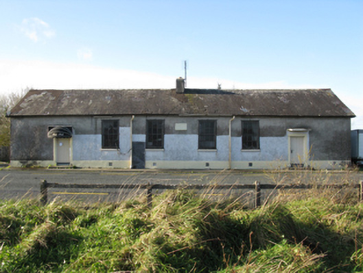 Doogary National Schoolschool · 315 yd
 IndicatedEnclosure · 1269 yd
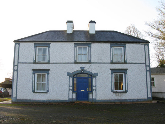 farm housefarm house · 1273 yd
 TobercoghlanHoly well · 1.0 mi
 East Mayo Brigade MonumentMemorial · 1.4 mi
 Rath Castle in ruinsCastle, tower house · 1.7 mi
 CastleCastle, unclassified · 2.4 mi
 Knock ShrineHeritage attraction · 4.2 mi
 Knock MuseumMuseum · 4.2 mi
 I'll Send You The FareMemorial · 5.6 mi
 Thorn CaveCave · 6.1 mi
 Bawn IslandIslet · 18 mi
Other information
Photo: Credit not shown in the picture search · Rights wording not checked; contact us if this picture should be removed