What is recorded here
In pasture. A possible ring-barrow (diam. c. 12m) identified as an earthwork on Google Earth Pro imagery (imagery date 18 November 2018) by Jean-Charles Caillère.
See attached photograph:
TS066-214----_01 Image ©2019 CNEW/Airbus: Google Earth Pro satellite imagery (18 November 2018)
Compiled by: Jean Farrelly
Date of upload: 8 January 2020
A Neolithic ring-barrow, dating to the 4th to 3rd millennia BCE. It represents an early form of burial monument, significant for understanding prehistoric funerary practices and landscape use in the region.
The monument record does not grant public access. Check the route and ask the landowner before entering private land.
- What survives
- Recorded monument
Places near here
 grottogrotto · 534 yd
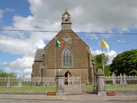 Catholic Church of the Assumptionchurch/chapel · 558 yd
 Ladys WellHoly well · 626 yd
 Enclosure in Lattin WestEnclosure · 960 yd
 CastleCastle, ringwork · 973 yd
 MoatCastle, motte · 1.6 mi
 SlievenamuckMountain / peak · 3.0 mi
 Carn (site of)Cairn, burial cairn · 3.7 mi
 Bansha ForestForest · 3.7 mi
 Oola HillMountain / peak · 4.5 mi
 Darby's Bed Walk LoopWalking route · 4.6 mi
 Saint Patrick's WellSpring · 6.0 mi