What is recorded here
In wet, low-lying pasture, in the angle of two land drains, 160m SW of a townland boundary with Ballingoola. Not depicted on OSi historic maps. Identified as Site Y by Ó Ríordáin and MacDermott (1949, 127) and described as a ring-barrow cut into the surface of a rectangular-shaped platform (LI023-069001-) along with two other ring-barrows (LI023-069002-/004-). This monument was described by O'Kelly (1944, 48) as a 'very low rectangular platform surrounded by a very shallow fosse. The entrance is not recognisable. It measures overall 75' [22.8m] N-S by 45' [13.7m] E-W. At its S end and lying sided by side are two barrows, one oval and the other circular. These are low mounds surrounded by shallow fosses which are joined into that of the rectangle. The oval barrow is 45' [13.7m] N-S by 23' [7m] E-W while the other is 24' [7.3m] in diameter. The third one, also 24' [7.3m] in diameter, lies to the south of the oval barrow, both fosses being conjoined. The monuments are situated just beyond the edge of an extensive marsh'.
Monuments are not visible on Digital Globe orthophotos taken 2011-13 and on Google Earth orthoimages taken 28/06/2018.
See attached Google Earth orthoimages location map showing platform and ring-barrows marked Y after Ó Ríordáin and MacDermott 1949.
Compiled by: Alison McQueen and Vera Rahilly
Date of upload: 29 August 2020
A ring-barrow, likely dating to the Early Bronze Age, associated with burial practices in lowland areas; its identification as Site Y by early archaeologists indicates some historical scholarly interest.
The monument record does not grant public access. Check the route and ask the landowner before entering private land.
- What survives
- Recorded monument
Places near here
 Platform in KnockfennellPlatform · 1 yd
 BarrowBarrow, ring-barrow · 411 yd
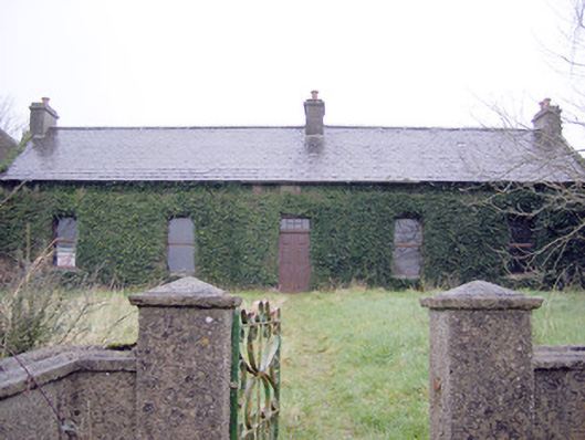 Lake Viewhouse · 919 yd
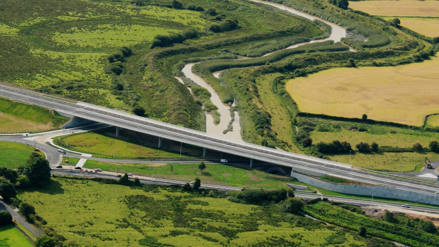 RoadRoad, road/trackway · 933 yd
 The SpectaclesVisitor information · 1204 yd
 Lough Gur Heritage CentreVisitor information · 1332 yd
 Pedunculate OakPedunculate Oak · 1514 yd
 Garret IslandCastle, unclassified · 1570 yd
 OultinedBawn · 1612 yd
 Grange Stone CircleArchaeological place · 1.2 mi
 Lough GurVisitor information · 1.2 mi
 Banoge's WellSpring · 1.6 mi