What is recorded here
In rough grazing, on gentle SW-facing slope. Circular area (diam. c. 5.2m) enclosed by shallow fosse (D 0.3m) with external earthen bank (H 0.35m). Four fulachta fiadh (11010, 11011, 11012, 11013) c. 50m to N, c. 40m to S, c. 40m to NNE, c. 50m to ESE respectively. Two fulachta fiadh (11014, 11015) c. 150m to E.
From the National Monuments Service (Archaeological Survey of Ireland) record CO017-037002
The monument record does not grant public access. Check the route and ask the landowner before entering private land.
- What survives
- Recorded monument
Places near here
Photo credits
- National Inventory of Architectural Heritage
- Pottercomuneo, Wikimedia Commons · CC BY-SA 4.0
- Mike Searle, Wikimedia Commons · CC BY-SA 2.0
- Christian Pirkl, Wikimedia Commons · CC BY-SA 3.0 at
- David P Howard, Geograph · CC BY-SA 2.0
- Miguel Angel Masegosa Martínez, Wikimedia Commons · CC BY 2.0
Fulacht fia in Kilcolman WestFulacht fia · 517 yd Velvetstown HouseCountry house · 1634 ydBallinvonear SchoolSchool · 1669 ydKilcolman Castle (in Ruins)Castle, tower house · 1.1 miKilcolman CastleCastle · 1.1 miDavid HurleyMemorial · 2.0 miSycamore2.0 miButtevant Rail DisasterMemorial · 2.2 miTowerDovecote · 2.8 miDoneraile CourtGates/railings/walls · 3.4 miDoneraile CourtGate lodge · 3.4 miSweet Chestnut3.6 mi
 Velvetstown HouseCountry house · 1634 yd
 Ballinvonear SchoolSchool · 1669 yd
 Kilcolman Castle (in Ruins)Castle, tower house · 1.1 mi
.jpg/250px-Castles_of_Munster-_Kilcolman,_Cork_(geograph_3036773).jpg "Photo: Mike Searle, Wikimedia Commons · CC BY-SA 2.0") Kilcolman CastleCastle · 1.1 miDavid HurleyMemorial · 2.0 mi
Kilcolman CastleCastle · 1.1 miDavid HurleyMemorial · 2.0 mi Sycamore2.0 miButtevant Rail DisasterMemorial · 2.2 mi
 TowerDovecote · 2.8 mi
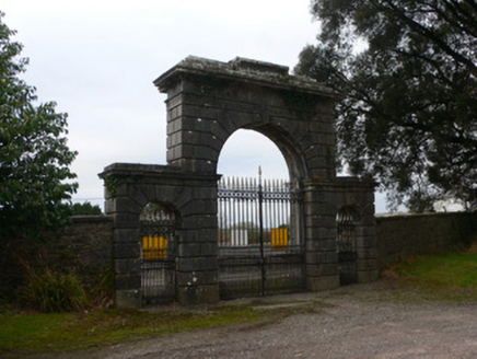 Doneraile CourtGates/railings/walls · 3.4 mi
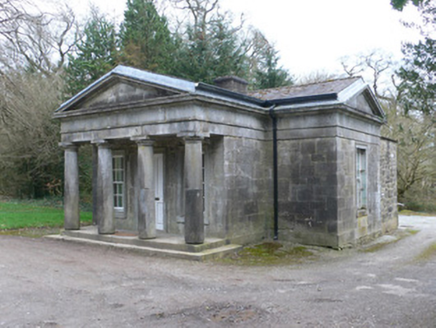 Doneraile CourtGate lodge · 3.4 mi
 Sweet Chestnut3.6 mi
More archaeology and monuments in County Cork · All of County Cork
What do you know about this place?