
What is recorded here
A short distance to the SE of the highest point of a prominent, NW-SE drumlin ridge in pasture. Depicted as a circular enclosure with the designation 'Fort' on the 1837 and 1883 eds. of the OS 6-inch map. A low circular mound of earth and stone (diam. 10.8m at base; H 0.4m) encircled by a shallow fosse (Wth 2.9-5.4m; D 0.3-0.45m). From SE-SSE the outer portion of the fosse is occupied by a modern NW-SE field boundary. There is a circular depression (diam. 5.1m; D 0.2m), of unknown significance, on top of the mound. The original entrance is not recognisable.
Compiled by: Patrick F. O'Donovan
Date of upload: 26 August 2011
Round barrow, likely dating to the Early Bronze Age. Its depiction as a 'Fort' on 19th-century maps suggests possible later reinterpretation or secondary use.
The monument record does not grant public access. Check the route and ask the landowner before entering private land.
- What survives
- Recorded monument
Places near here
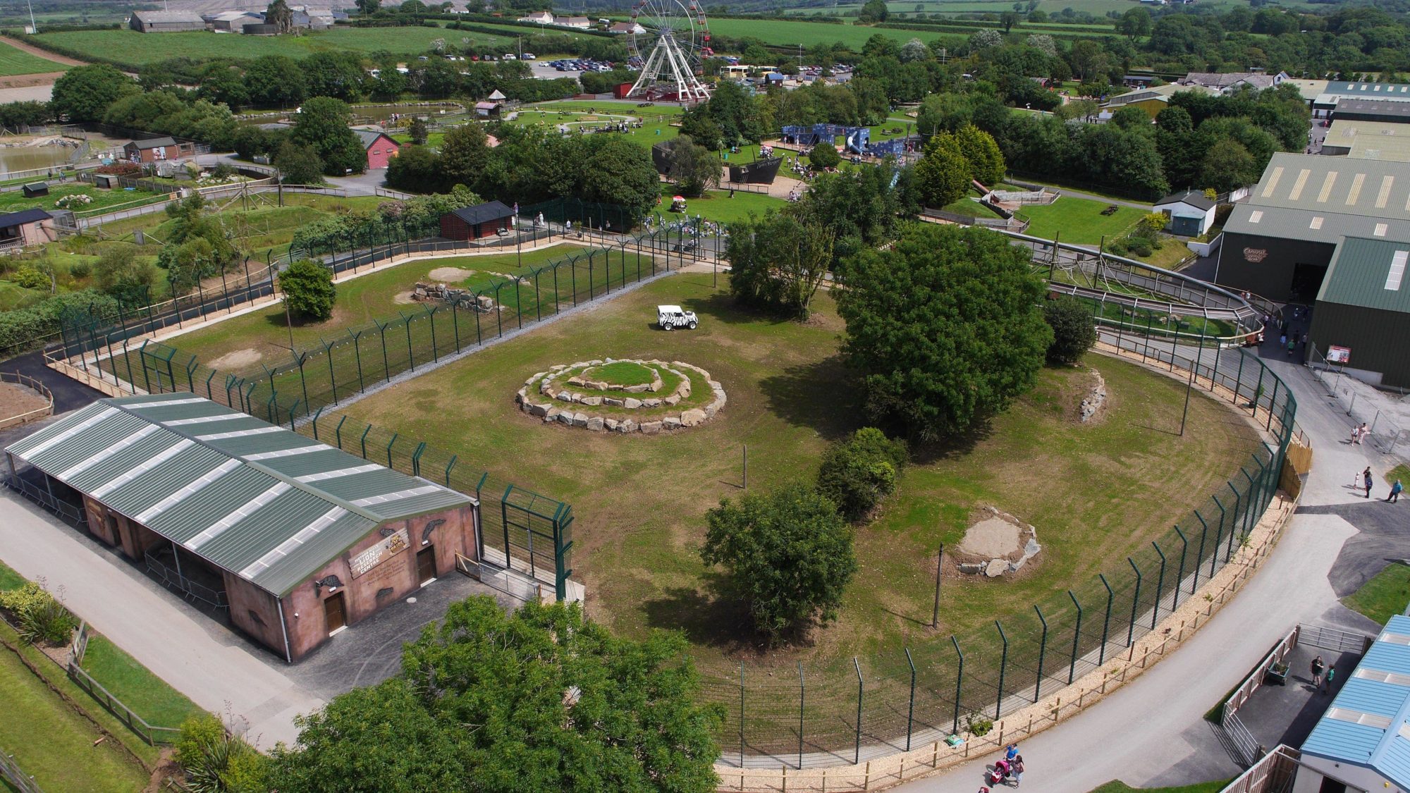 Enclosure in BallymauriceEnclosure · 302 yd
 IndicatedEnclosure · 777 yd
 gates/railings/wallsgates/railings/walls · 805 yd
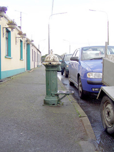 water pumpwater pump · 1085 yd
 Bakers FortCastle, ringwork · 1423 yd
 Moat of GranardCastle, motte and bailey · 1449 yd
 Granard MotteMotte-and-bailey castle remains · 1483 yd
 1798 Monumentmonument · 1492 yd
 CartronfreeMountain / peak · 3.4 mi
 Clonfin Ambush MemorialMemorial · 4.0 mi
 CarrickabaneMountain / peak · 4.2 mi
 Cloonfin WoodForest · 4.5 mi
Other information
Photo: Credit not shown in the picture search · Rights wording not checked; contact us if this picture should be removed