What is recorded here
In pasture, located on a broad, low rise, with good views, in an area of generally lowlying, poorly drained terrain.
Not shown on the 1838 OS 6-inch map; a roughly circular hachured area is shown on the 1930 edition.
This ringbarrow was extant when inspected in 1982. It consisted of a central platform (9m N–S; 9m E–W) enclosed by a rush-grown, water-logged fosse with a broad, low external bank (Wth c. 4m). The central platform appeared to be at a lower level that the surrounding field level, and was somewhat irregular in plan as a result of disturbance to the S side. The overall diameter was 23m N−S by 23m E−W (crest to crest of bank). (SMR file: OPW field notes 1982).
The ringbarrow was levelled during land reclamation later in the 1980's. When inspection in 2000, the outline of the central platform and the enclosing fosse could be discerned as slight surface undulations.
Compiled by: Jane O'Shaughnessy
Date of upload: 17 February 2023
A Neolithic ring-barrow; significant as a rare surviving burial monument in a lowland, poorly drained landscape, indicating early human settlement and ceremonial activity.
The monument record does not grant public access. Check the route and ask the landowner before entering private land.
- What survives
- Recorded monument
Places near here
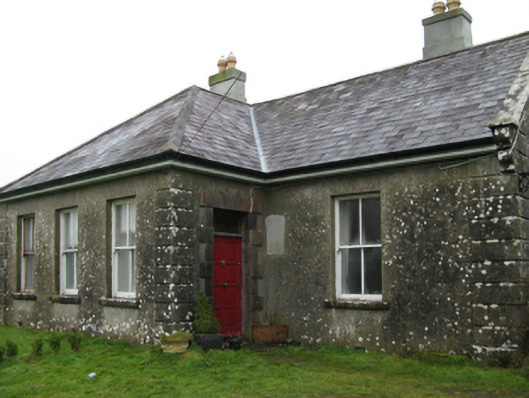
 The Heathfarm house · 474 yd
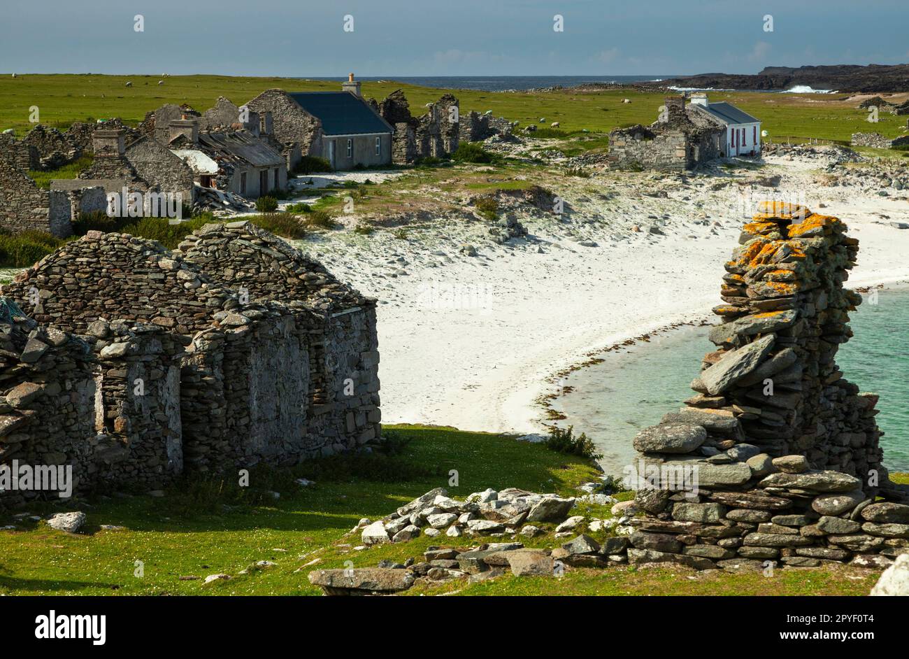
 Ballyglass Housefarm house · 1107 yd
 IndicatedEnclosure · 1619 yd
 Enclosure in CoolconEnclosure · 1.3 mi
 Castle (in ruins)Castle, unclassified · 1.6 mi
 Bawn in Castlemagarretpark OldBawn · 2.6 mi
 Geoffrey's WoodForest · 2.7 mi
 Oak WoodForest · 3.0 mi
 Land of the GiantsHeritage attraction · 4.7 mi
 Mass RockNamed rock · 8.7 mi
 Gibbs IslandsIslet · 13 mi
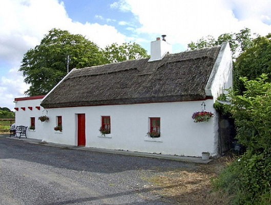 Beech Tree Cottagehouse · 1175 yd