What is recorded here
In low-lying wet pasture with ring-barrows (TS 065-006001-; TS 065-006003-) located c. 30m to the WSW and c. 110m to the SE respectively. Circular area (diam. 4m) enclosed by a slight scarped edge (Wth 1m; H 0.1m) with a shallow fosse (Wth at base 0.8m: D 0.05m) and a low broad external earthen bank (overall Wth 4m; Wth at top 1.5m; ext H 0.1m). The interior is level and clear of overgrowth.
Compiled by: Jean Farrelly
Date of upload: 12 May 2014
A Neolithic ring-barrow, likely dating to the Early to Middle Neolithic period (c. 4000–3000 BCE). Its presence in a cluster of similar barrows suggests a ritual or funerary landscape associated with early farming communities in the region.
The monument record does not grant public access. Check the route and ask the landowner before entering private land.
- What survives
- Recorded monument
Places near here
 Enclosure in ChancellorslandEnclosure · 685 yd
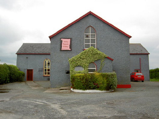 Halla Naomh Ailbhechurch/chapel · 978 yd
 St. Peters WellHoly well · 1026 yd
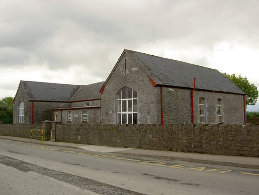 Saint Ailbe's National Schoolschool · 1102 yd
 Glebe Ho.Castle, unclassified · 1514 yd
 CastleCastle, motte · 2.0 mi
 St Patrick's WellSpring · 3.7 mi
 Kilteely HillMountain / peak · 3.9 mi
 St. Patrick's WellSpring · 4.2 mi
 Flat cemetery in Knockainy WestFlat cemetery · 4.4 mi
 Ballinvreena LoopVisitor information · 6.7 mi
 SlievereaghMountain / peak · 6.8 mi