What is recorded here
In pasture, on a gently S-facing slope, c. 100m from the N bank of the River Deel. A circular area (11.7m N-S; 12.2m E-W) enclosed by a fosse (D 0.25m; Wth 2.2m) with an external bank (ext. H 0.2m). There is a gap in the bank (Wth 2.4m) at N; from this a shallow linear depression (Wth 2.4m) extends for c. 18m to the S. The fosse is waterlogged E->W. The bank is best preserved NNE->S. The level interior is under pasture.
Compiled by: Denis Power
Date of upload: 26 August 2011
The monument record does not grant public access. Check the route and ask the landowner before entering private land.
- What survives
- Recorded monument
Places near here
 milestone/milepostmilestone/milepost · 958 yd
 RathkealeFairy fort / earthen ringfort · 1268 yd
 Mount Southwellcountry house · 1377 yd
 Glebe CastleCastle · 1453 yd
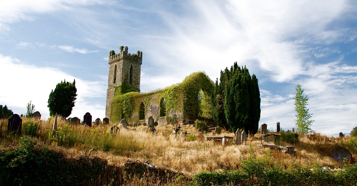 Grave YardGraveyard · 1488 yd
 Castle MatrixCastle, tower house · 1598 yd
 European ashEuropean ash · 1.4 mi
 TobernablahySpring · 1.5 mi
 St. Kieran's WellSpring · 2.4 mi
 Flat cemetery in Kiltenan SouthFlat cemetery · 5.1 mi
 Limerick GreenwayWalking route · 8.8 mi
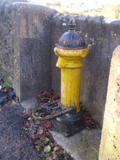 water pumpwater pump · 1424 yd