
What is recorded here
From the National Monuments Service (Archaeological Survey of Ireland) record WI015-005
Places near here
Photo credits
- Andrewmc, Wikimedia Commons · CC BY 3.0
- Maker not stated on source page, en.wikipedia.org
- Maker not stated on source page, visitwicklow.ie
- National Inventory of Architectural Heritage
- Rob Hurson, Wikimedia Commons · CC BY-SA 4.0
- Maker not stated on source page, uk.pinterest.com
- Ridiculopathy, Wikimedia Commons · CC BY-SA 4.0
- Kmcnamee, Wikimedia Commons · CC BY-SA 4.0
- Maker not stated on source page, www.youtube.com
- Maker not stated on source page, commons.wikimedia.org
- Sitomon, Wikimedia Commons · CC BY-SA 2.0
 Burial ground in CrehelpBurial ground · 404 yd
Explorer Tom Crehelp’s burial ground is home to a granite pillar that looks like it got stuck in a jammed window frame. They say…
 Church in CrehelpChurch · 1174 yd
Explorer Tom Church in Crehelp made Saint Patrick say 'that’s not my fault, it’s the ground’s fault'. He blamed the mud for making…
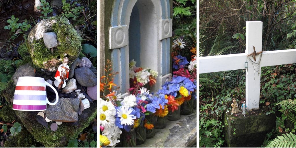 Holy well in LemonstownHoly well · 1401 yd
Explorer Tom Holy well in Lemonstown is known as the Blessed Well but has no lemons, which is a bit of an irony I’m not over. If it…
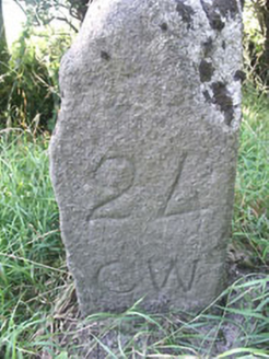 milestone/milepost1532 yd
Explorer Tom Milestone in Dunboyke is where a goat once ate a signpost so dramatically that locals swore it was a ghost, though it…
 The Pipers StonesStone circle · 1569 yd
Explorer Tom The Pipers Stones in Athgreany is proud of its rag bush, which used to cure illnesses. People tied rags there hoping…
 Fairy fort / earthen ringfort in RathattinFairy fort / earthen ringfort · 1597 yd
Explorer Tom Fairy fort / earthen ringfort in Rathattin got levelled in nineteen seventy-three because apparently it didn't fit into…
 Standing stone in AthgreanyStanding stone · 1.2 mi
Explorer Tom Athgreany’s standing stone means ‘Stone That Looked at Me Weird’ if you ask me, which is probably closer to the truth…
 Burial mound in LemonstownBurial mound · 1.2 mi
Explorer Tom This burial mound in Lemonstown would survive a zombie attack by simply rolling them off the edge into the fosse below.…
 Hollywood GAAGAA ground · 1.4 mi
 Castle RockArchaeological place · 1.9 mi
Explorer Tom Castle Rock in County Wicklow is an archaeological place that probably knows more secrets than your bank manager, but…
 CastleCastle, unclassified · 1.9 mi
Explorer Tom Castle in Tober Demesne is hiding near the ruined house, probably ordering a chip but no mash because it’s trying to be…
 European Yew2.0 mi
Explorer Tom European Yew in County Wicklow would win the county fair by simply standing still while everyone else tries to juggle…
More archaeology and monuments in County Wicklow · All of County Wicklow

What do you know about this place?Tap to add a comment or ask a question