What is recorded here
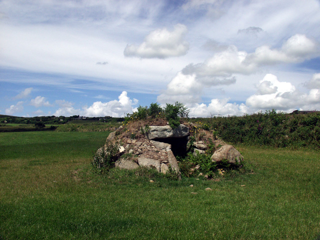
Situated on the floor of the NE-SW upper Araglin valley, on the N bank of a small E-W tributary of the NE-SW Araglin River. Circular, grass-covered earthen mound (diam. of base 7.2m; H 0.9-1.3m) surrounded by a shallow fosse (Wth 1m; D 0.2-0.5m) and the remains of an outer bank (Wth 1.5m; ext. H 0.2-0.4m), both of which are best preserved at N and S. The W side of the mound has been destroyed by the insertion of a limekiln. (Moore 1995, 210, 212, 230-31, 237, 243, Q2)
The above description is derived from the published 'Archaeological Inventory of County Waterford' (Dublin: Stationery Office, 1999). In certain instances the entries have been revised and updated in the light of recent research.
Compiled by: Michael Moore
Date of upload/revision: 18 November 2010
This monument is subject to a preservation order made under the National Monuments Acts 1930 to 2014 (PO no. 4/1996).
A ring-barrow, likely dating to the Early Bronze Age, associated with burial practices in upland landscapes; its location suggests a ceremonial or funerary role within a broader prehistoric river valley context.
This remains an important historical record, but the official description says the monument is no longer visible or has been destroyed. The monument record does not grant public access. Check the route and ask the landowner before entering private land.
- What survives
- No visible remains or recorded as destroyed
Places near here
 Cist in CoumaraglinmountainCist · 233 yd
 Fulacht fia in CoumaraglinmountainFulacht fia · 235 yd
 KilnKiln, lime · 267 yd
 Standing StoneMemorial · 1060 yd
 Coumaraglin MountainMountain / peak · 1.1 mi
 SeefinMountain / peak · 1.5 mi
 Kilbrien National SchoolOfficially recorded historic building · 1.8 mi
 Mahon ValleyCliff · 2.8 mi
 Bawn in BarnankileBawn · 3.2 mi
 Magic Road (start)Heritage attraction · 3.8 mi
 Magic Road (finish)Heritage attraction · 3.9 mi
 Crough WoodWood · 4.4 mi
Other information
Photo: Credit not shown in the picture search · Rights wording not checked; contact us if this picture should be removed