What is recorded here
On flat pasture land in undulating countryside with nearby tumulus (SMR OF011-022----) to the N. Poorly preserved low circular mound (H 0.15m; diam. 5.5m) enclosed by a slight fosse (Wth 0.4m) with external bank (Wth 0.5m; H 0.5m).barely discernible. Stone protruding from N portion of site.
From the National Monuments Service (Archaeological Survey of Ireland) record OF011-054
The monument record does not grant public access. Check the route and ask the landowner before entering private land.
- What survives
- Recorded monument
Places near here
Photo credits
- National Inventory of Architectural Heritage
- Dougbermingham ( talk ) ( Uploads ), Wikimedia Commons · CC0
- Kenneth Gallery Smyth, Geograph · Creative Commons Attribution-ShareAlike 2.0
- Douglas P.Bermingham, Wikimedia Commons · CC BY-SA 3.0
Enclosure in BallymoranEnclosure · 298 yd Ballymoran HouseHouse · 1245 ydBallinla HouseFarm house · 1641 ydVictoria PlantationWood · 3.3 miVictoria PlantationWood · 3.4 miBlundell Castle (in ruins)Castle, tower house · 3.5 miDownan Grave YardGraveyard · 3.6 miClonin EarthworksMountain / peak · 3.8 miGrange CastleCastle, tower house · 4.5 miSli na Slainte - mapVisitor information · 4.8 miMountlucas Wind Farm Visitors CentreVisitor information · 4.8 miAllen family memorial headstoneMemorial · 4.8 mi
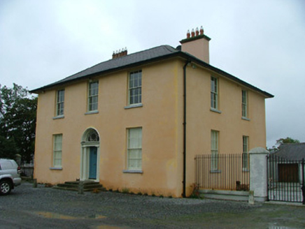 Ballymoran HouseHouse · 1245 yd
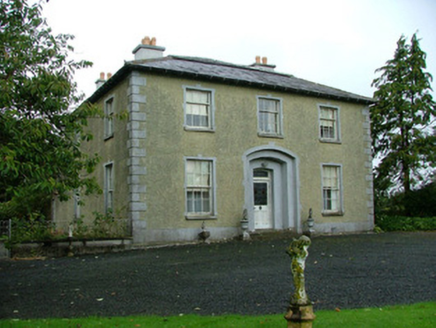 Ballinla HouseFarm house · 1641 ydVictoria PlantationWood · 3.3 miVictoria PlantationWood · 3.4 mi
 Blundell Castle (in ruins)Castle, tower house · 3.5 mi
 Downan Grave YardGraveyard · 3.6 miClonin EarthworksMountain / peak · 3.8 mi
 Grange CastleCastle, tower house · 4.5 miSli na Slainte - mapVisitor information · 4.8 miMountlucas Wind Farm Visitors CentreVisitor information · 4.8 miAllen family memorial headstoneMemorial · 4.8 mi
More archaeology and monuments in County Offaly · All of County Offaly
What do you know about this place?