
What is recorded here
'This barrow is to be found on top of a low spur of limestone outcrop in an area of marginal land at the lowest foothills of the Slieve Mish mountains. The site affords panoramic views from north through west to south. This barrow has been partially denuded and consists of a low bank and internal ditch enclosing a low…
Read the whole record
From the National Monuments Service (Archaeological Survey of Ireland) record KE038-105
Places near here
Photo credits
- Maker not stated on source page, en.wikipedia.org
- Maker not stated on source page, www.pinterest.com
- Irish Examiner; individual photographer not stated on source page, www.irishexaminer.com
- Maker not stated on source page, commons.wikimedia.org
- National Inventory of Architectural Heritage
- Maker not stated on source page, heritageireland.ie
- John M, Wikimedia Commons · CC BY-SA 2.0
- Wikimedia Commons contributor · CC BY-SA 3.0
- Ian S, Wikimedia Commons · CC BY-SA 2.0
- Raymond Norris, Geograph · CC BY-SA 2.0
 Linear earthwork in CaherweesheenLinear earthwork · 597 yd
Explorer Tom Linear earthwork in Caherweesheen is hiding under a bush like it owes money. Tom swears it smells strongly of ancient…
 Standing stone in Camp (trughanacmy By., Ballyseedy Ed)Standing stone · 1286 yd
Explorer Tom Standing stone in Camp is now a gatepost for a farmhouse, which is like using a crown jewel to hold the door open. It…
 John Mitchels GAA pitchGAA ground · 1368 yd
 Enclosure in Camp (trughanacmy By., Ballyseedy Ed)Enclosure · 1422 yd
Explorer Tom This enclosure in Camp started as a bet between two lads in the pub about cow paths. One said cows would make a circle…
 CloghersGate lodge · 1535 yd
Explorer Tom Cloghers gate lodge in Cloghers had a matchmaker working there who paired off all the local dogs. Now it’s just a…
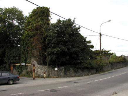 CastlemorrisCastle/fortified house · 1667 yd
Explorer Tom Castlemorris in Ballymullen is losing a rivalry with a much more famous castle down the road. It’s been sitting since…
 CastleCastle, tower house · 1667 yd
Explorer Tom Castle in Ballymullen is proud of being one of four McElligott castles, which means it has plenty of company to gossip…
 Tralee Military CemeteryCemetery · 1.0 mi
Explorer Tom Tralee Military Cemetery would complain to the council about the noise from the next door bar every single night…
 Scotia's GraveArchaeological place · 1.3 mi
Explorer Tom Scotia's Grave in County Kerry holds the fake world record for being the most confusingly named burial site in the…
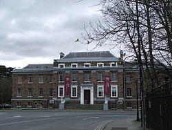 Kerry County MuseumMuseum · 1.5 mi
Explorer Tom Kerry County Museum occupies a building that once had councillors making decisions, and now lets the rest of us decide…
 The Rose of TraleeStatue · 1.5 mi
Explorer Tom The Rose of Tralee has a tall tale about a hidden tunnel leading straight to the pub back door. Locals swear they’ve…
 Knockmichael MountainMountain / peak · 1.5 mi
Explorer Tom Knockmichael Mountain is like the awkward uncle at a wedding who keeps trying to dance but only hits his own feet. It’s…
More archaeology and monuments in County Kerry · All of County Kerry

What do you know about this place?Tap to add a comment or ask a question