What is recorded here
The following description is derived from both the published 'Archaeological Inventory of County Louth' (Dublin: Stationery Office, 1986) and the 'Archaeological Survey of County Louth' (Dublin: Stationery Office, 1991). In certain instances the entries have been revised and updated in the light of recent research.
Date of upload/revision: 17 July 2007
Situated on top of a slight natural rise in rolling grassland. Ring-barrow (max. dims. 24.8m by 20.8m), comprising a flat, slightly oval-shaped interior (diam. 14m NE-SW) enclosed by a fosse (Wth 2.2m) on S to W and N to NE. External bank (Wth 3.2m) visible only from S-W-NE. A modern field fence truncates the fosse and bank from S-E-NE. The site is referred to as a 'small mount' by Stubbs (CLAJ 1909, 129).
A ring-barrow, likely dating to the Early Bronze Age, associated with burial practices common in eastern Ireland. Its form suggests a single interment beneath a circular earthen mound, typical of the period's funerary architecture.
The monument record does not grant public access. Check the route and ask the landowner before entering private land.
- What survives
- Recorded monument
Places near here
 Man-made underground passage in CarrickastuckMan-made underground passage · 375 yd
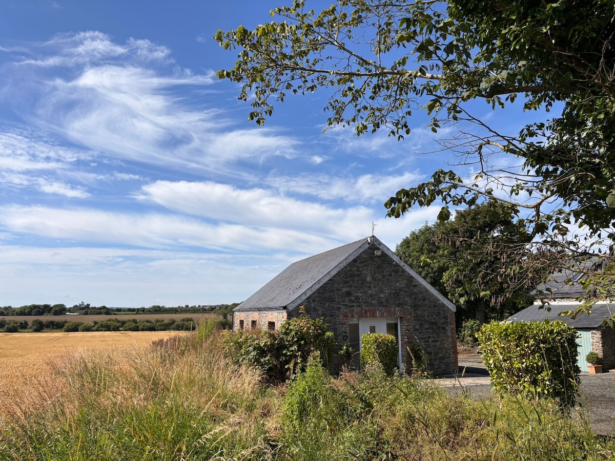 Enclosure in AnnaghvackyEnclosure · 1329 yd
 CastleCastle, unclassified · 1379 yd
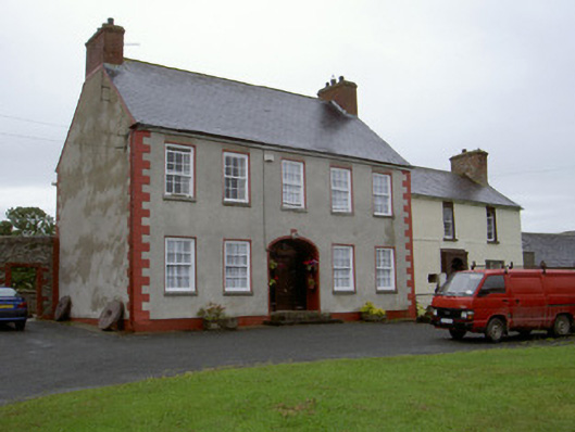 Clonaleenaghan Househouse · 1.0 mi
 Bawn in Shortstone EastBawn · 1.4 mi
 Slieve Cottagefarm house · 1.4 mi
 Ballsmill Amenity LandPicnic place · 2.3 mi
 Sky HillMountain / peak · 2.3 mi
 CroslieveMountain / peak · 4.2 mi
 Mass Rock Loop TrailWalking route · 4.2 mi
 Forkhill Greenspace PathwayWalking route · 4.2 mi
 Irish Hunger StrikersMemorial · 4.4 mi