What is recorded here
In marshy grassland, c. 15m to the S of a stream. This subcircular ring-barrow (37m N-S; 35.5m E-W) is definded by a low flat-topped earthen mound (diam. 14.5m; H 0.2-0.5m) which is encircled by a fosse and external bank. Four trackways cut across the interior.
Compiled by: Galway Archaeological Survey, UCG
Date of upload: 12 August 2019
A ring-barrow, likely dating to the Early Bronze Age, characterized by a subcircular earthen mound encircled by a fosse and external bank. Such monuments are significant as they represent early forms of burial and ceremonial earthworks in the Irish landscape.
The monument record does not grant public access. Check the route and ask the landowner before entering private land.
- What survives
- Recorded monument
Places near here
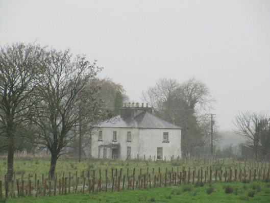 Rathglass Housecountry house · 922 yd
 Enclosure in Carra (loughrea By.)Enclosure · 1280 yd
 Field system in Carra (loughrea By.)Field system · 1305 yd
 Quarry in Ballintober WestQuarry · 1.3 mi
 Site of Lisnamoltaun CastleCastle, unclassified · 2.8 mi
 CastleCastle, unclassified · 3.0 mi
 Dartfield Horse MuseumHeritage attraction · 3.3 mi
 Turoe StoneHeritage attraction · 3.5 mi
 Woodlawn WoodsForest · 3.9 mi
 Large-leaved LimeLarge-leaved Lime · 3.9 mi
 Battle of Aughrim Interpretative CentreMuseum · 7.1 mi
 Battle of AughrimMajor battlefield · 7.2 mi