What is recorded here
In level tillage reverting to pasture. Views are moderate in all directions. No visible surface trace at ground level. Not shown on any edition of the OS 6-inch map. Recorded by Will Forbes (pers. comm. on file). No dimensions on file.
Compiled by: Jean Farrelly
Date of upload: 26 August 2011
The monument record does not grant public access. Check the route and ask the landowner before entering private land.
- What survives
- Recorded monument
Places near here
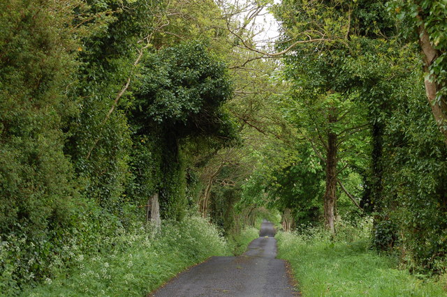 Enclosure in BallyhoneEnclosure · 371 yd
 Glebe Ho.Castle, unclassified · 903 yd
 St. Peters WellHoly well · 1549 yd
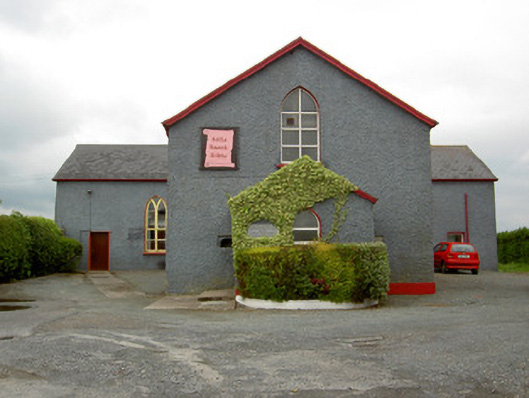 Halla Naomh Ailbhechurch/chapel · 1650 yd
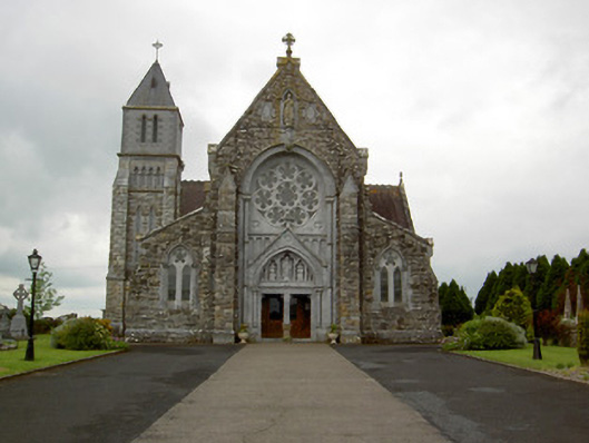 Saint Ailbe's Catholic Churchchurch/chapel · 1675 yd
 CastleCastle, motte · 1.3 mi
 Carn (site of)Cairn, burial cairn · 2.1 mi
 St Patrick's WellSpring · 2.5 mi
 Saint Patrick's WellSpring · 3.4 mi
 Flat cemetery in Knockainy WestFlat cemetery · 3.5 mi
 Kilteely HillMountain / peak · 4.3 mi
 Ballinvreena LoopVisitor information · 5.5 mi