What is recorded here
In pasture. A small circular enclosure (diam. c. 14m) identified on Google Earth Pro imagery (imagery date 16 December 2016) by Jean-Charles Caillère. It appears to have an internal fosse and outer bank. The size and morphology of the enclosure suggest it is a ring-barrow.
See attached photograph:
TS066-203----_01 Image ©2019 CNEW/Airbus: Google Earth Pro satellite imagery (16 December 2016)
Compiled by: Jean Farrelly
Date of upload: 11 December 2019
A Neolithic ring-barrow, likely dating to the Early to Middle Neolithic period (c. 4000–3000 BCE). Its internal fosse and outer bank suggest a ceremonial or funerary function, typical of burial monuments in this tradition.
The monument record does not grant public access. Check the route and ask the landowner before entering private land.
- What survives
- Recorded monument
Places near here
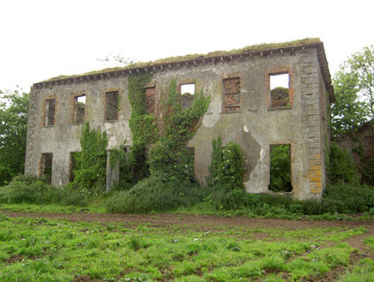 Roesborough Housecountry house · 455 yd
 Enclosure in Barronstown (ormond), (shronell Par.)Enclosure · 655 yd
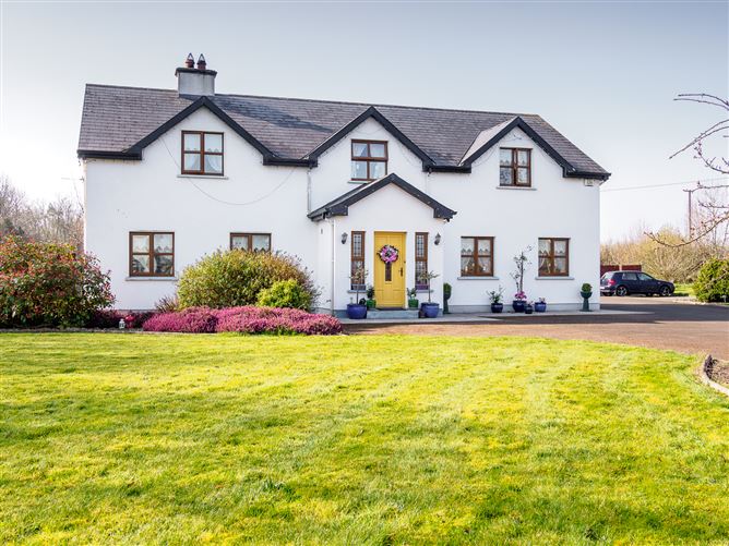 Enclosure in Barronstown (laffan),barronstown (ormond), (tipperary Par.)Enclosure · 685 yd
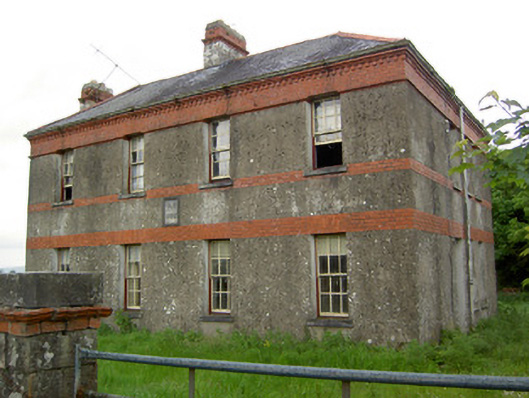 Victoria Houseoffice · 1485 yd
 Site of CastleCastle, unclassified · 1.0 mi
 Mutton Pie HillCastle, motte · 1.4 mi
 The Maid of ErinMemorial · 1.8 mi
 It's a long way to TippereryHeritage attraction · 1.9 mi
 Soloheadbeg Ambush SiteMemorial · 2.5 mi
 The RockViewpoint · 3.6 mi
 Bansha ForestForest · 3.7 mi
 Oola HillMountain / peak · 3.8 mi