What is recorded here
This is the record for a monument identified by The Discovery Programme, from medium-altitude aerial photographs taken in 1986 [see Doody, M. (2008) The Ballyhoura Hills Project, Discovery Programme Monograph No 7, Wordwell, pp 65-100]. The reference for this monument is LI023: Bruff 17001: AP 4/3710.
A ring-barrow, likely dating to the Early Bronze Age, associated with funerary practices in the Ballyhoura Hills region. Its identification through aerial photography highlights the value of such methods in uncovering prehistoric monuments in the area.
The monument record does not grant public access. Check the route and ask the landowner before entering private land.
- What survives
- Recorded monument
Places near here
 BarrowBarrow, ring-barrow · 17 yd
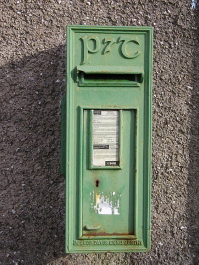 post boxpost box · 407 yd
 Enclosure in Ballybricken WestEnclosure · 538 yd
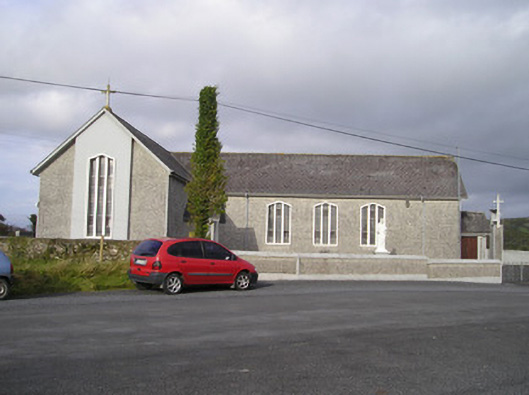 Saint Ailbe's Catholic Churchchurch/chapel · 551 yd
 Ballybricken Court (in ruins)Castle, tower house · 670 yd
 CastleCastle, unclassified · 1358 yd
 St Lawrence's WellSpring · 1.5 mi
 Wych ElmWych Elm · 1.7 mi
 Banoge's WellSpring · 2.1 mi
 Kilteely HillMountain / peak · 5.7 mi
 Graveyard in AbingtonGraveyard · 5.7 mi
 KnockseefinMountain / peak · 6.2 mi