What is recorded here
On a natural rise, situated in a shallow depression running N-S, in low-lying improved, pasture, with good views to N and S. Ring-barrows (LI023-193001-/003-) are conjoined to NE and NW, respectively. Not depicted on OSi historic maps. Identified as a small circular-shaped cropmark by the Bruff aerial photographic survey in 1986 (Bruff 16102: AP 4/3694). Low dome-shaped mound (diam. 5m) defined by a fosse (Wth 2.5m; D 0.3m) and an external bank (Wth 2m). Monument is not visible on Digital Globe orthophotos taken 2011-2013 or on Google Earth orthoimage taken 28/06/2018.
See attached Google Earth orthoimage 28/06/2018 and Bruff aerial survey image labelled Bruff 16102.
Compiled by: Alison McQueen and Vera Rahilly
Date of upload: 3 September 2020
A Neolithic ring-barrow, dating to approximately 3000–2500 BCE, typically associated with single inhumation burials. Its location and alignment suggest ritual or ceremonial significance within a broader funerary landscape.
The monument record does not grant public access. Check the route and ask the landowner before entering private land.
- What survives
- Recorded monument
Places near here
 BarrowBarrow, ring-barrow · 23 yd
 Enclosure in BallyblakeEnclosure · 117 yd
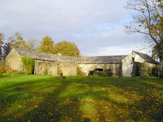 Coole Houseoutbuilding · 890 yd
 BoherleagaunRoad, road/trackway · 943 yd
 Ballybricken Court (in ruins)Castle, tower house · 1618 yd
 Banoge's WellSpring · 1.2 mi
 OultinedBawn · 1.3 mi
 Skool HillMountain / peak · 1.6 mi
 The SpectaclesVisitor information · 2.0 mi
 Grange Stone CircleArchaeological place · 2.7 mi
 Villiers WellSpring · 4.8 mi
 Kilteely HillMountain / peak · 5.5 mi