
What is recorded here
No surface remains visible of levelled site. Monument described in 1977 as following; 'Not marked on current 6 inch [OS] map. A circular round topped mound of earth and stone. It is grass covered but where it is slightly defaced in places many stones are visible. These are about 20cms in diameter. There is no visible…
Read the whole record
From the National Monuments Service (Archaeological Survey of Ireland) record WM013-106
Places near here
Photo credits
- National Inventory of Architectural Heritage
- Maker not stated on source page, www.pinterest.com
- Jamie Carroll, Geograph · Creative Commons Attribution-ShareAlike 2.0
- Maker not stated on source page, monumentalireland.ie
- Maker not stated on source page, nigelborrington.com
- Maker not stated on source page, www.flickr.com
- Maker not stated on source page, en.wikipedia.org
- Maker not stated on source page, commons.wikimedia.org
- Mike Searle, Wikimedia Commons · CC BY-SA 2.0
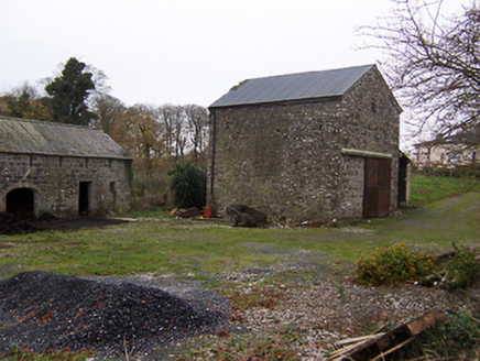 mill (water)102 yd
Explorer Tom Mill in Killagh has one favourite song: 'Whistle Stop,' because that’s all it ever heard back when the trains were…
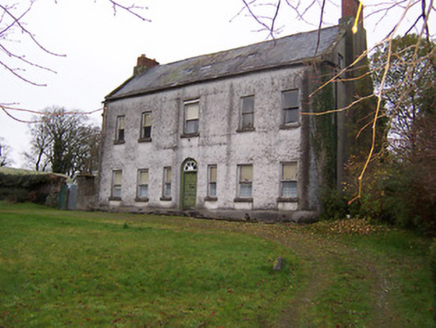 Killagh HouseHouse · 176 yd
Explorer Tom Killagh House is incredibly proud of its three-spoke fanlight, which looks like a bicycle wheel had a spiritual…
 CastleCastle, motte and bailey · 326 yd
Explorer Tom They say there is a hidden tunnel from Killagh Castle straight to the pub downstairs, but nobody wants to check because…
 Bracklyn HouseGate lodge · 1600 yd
Explorer Tom Bracklyn House’s gate lodge is a weird mix of Palladian and Gothic that looks like two architects fought over who got…
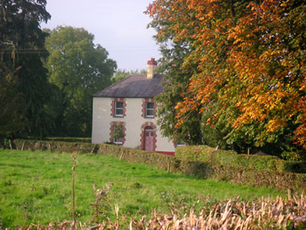 Scarden HouseHouse · 1.0 mi
Explorer Tom Scarden House has a retirement plan that involves turning into a very fancy mushroom house and letting the moss do the…
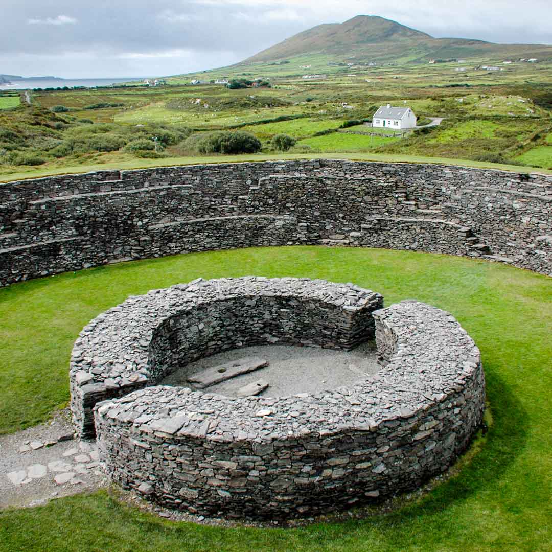 Fairy fort / ringfort in ChanonstownFairy fort / ringfort · 1.1 mi
Explorer Tom Fairy fort / ringfort in Chanonstown would write 'looking for a stable partner who won’t get levelled by the next…
 Reynella CottageOutbuilding · 1.1 mi
Explorer Tom Reynella Cottage in Reynella is doing its best to look like a proper house while secretly admitting it's just a shed…
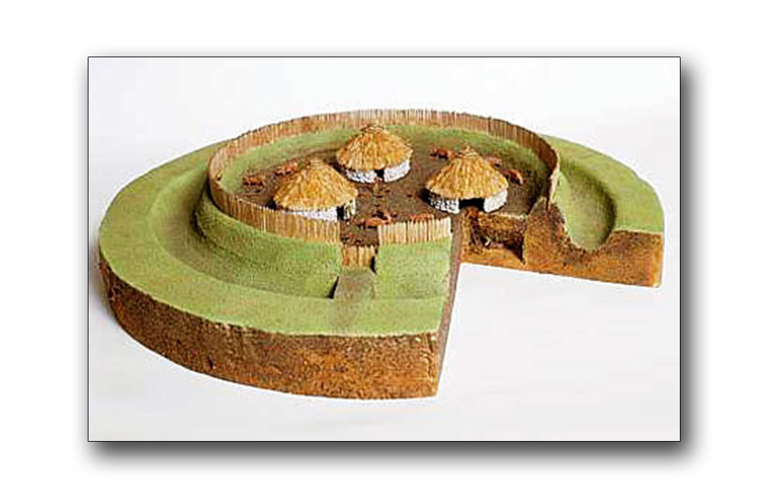 Fairy fort / earthen ringfort in Balrath EastFairy fort / earthen ringfort · 1.2 mi
Explorer Tom Fairy fort / earthen ringfort in Balrath East would order a massive chipper with triple sauce and no vegetables, purely…
 Bridge in BallynacorBridge · 1.3 mi
Explorer Tom Bridge in Ballynacor has a rivalry with the other bridge because nobody knows exactly where this one actually is. It…
 Stone head (present location) in Williamstown (briscoe)Stone head (present location) · 1.3 mi
Explorer Tom Stone head in Williamstown has big eyebrows and a flat nose, giving it an expression that says it finds this entire…
 Flat cemetery in CartenstownFlat cemetery · 1.8 mi
Explorer Tom Flat cemetery in Cartenstown, County Westmeath hosted a dance that went so far out of hand the skeletons are still…
 Martinstown Castle in RuinsCastle, tower house · 2.4 mi
Explorer Tom Martinstown Castle in Ruins is playing hard to get on that rock outcrop. I heard a dance was held there once, but the…
More archaeology and monuments in County Westmeath · All of County Westmeath

What do you know about this place?Tap to add a comment or ask a question