What is recorded here
Situated at N end of natural ridge in undulating pasture with good views in all directions. High oval-shaped flat-topped mound (top dims. 7.8m x 6.28m; base diam. c. 31m NE-SW x 24m NW-SE) of earth and stones with no evidence of an enclosing fosse or any other feature associated with the mound. The sides of the mound are quite steep on W, N and E sides. The NE side of the mound has been damaged by quarrying and there are some thorn bushes growing on the monument at this location. Possible mound barrow classification as it would appear to be too small to classify as a small motte (SMR File 06/06/1985). Mound barrow placed on the Register of Historic Monuments on the 18/06/1986.
Compiled by: Caimin O’Brien
Date of upload: 20 July 2015
Mound barrow, likely dating to the Early Bronze Age. It represents a significant funerary monument, reflecting early ceremonial and burial practices in the region.
The monument record does not grant public access. Check the route and ask the landowner before entering private land.
- What survives
- Recorded monument
Places near here
 CastleCastle, unclassified · 496 yd
 Thatch IslandIslet · 1356 yd
 OutlinedFairy fort / earthen ringfort · 1493 yd
 Catholic Church of Our Lady Queen of Peacechurch/chapel · 1676 yd
 Promontory fortPromontory fort, inland · 1709 yd
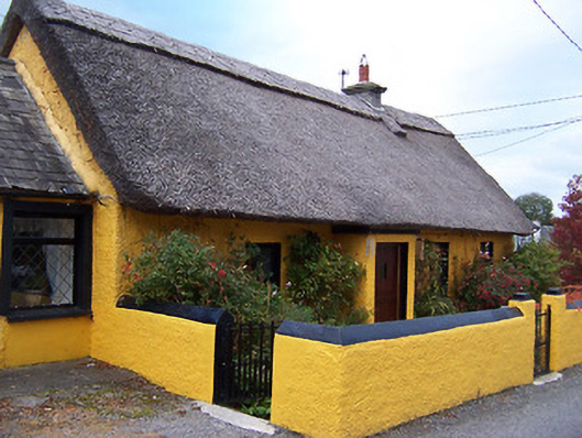 Rose Cottagehouse · 1.0 mi
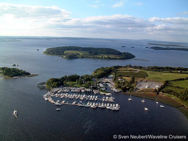 Killinure PointHeadland · 1.4 mi
 Temple's IslandIslet · 1.4 mi
 Siege of Athlonesiege · 1.7 mi
 1916 Centenery CommemorationMemorial · 1.8 mi