What is recorded here
The following description is derived from the published 'Archaeological Inventory of County Carlow' (Dublin: Stationery Office, 1993). In certain instances the entries have been revised and updated in the light of recent research.
Date of upload/revision: 17 July 2007
Shown on 1839 'OS 6-inch' map, but not on 1939 ed. Circular mound (H 2.8m; base diam. c. 22m) of earth and chiefly granite boulders. Quarrying at NW towards centre has revealed possible capstone. Best preserved at N.
A Neolithic mound barrow; its significance lies in representing early funerary practices and burial mounds constructed during the Neolithic period in Ireland.
The monument record does not grant public access. Check the route and ask the landowner before entering private land.
- What survives
- Recorded monument
Places near here
 Castlemore MoatArchaeological place · 470 yd
 Castlemore Housecountry house · 1247 yd
 Enclosure in RathnashannaghEnclosure · 1480 yd
 Enclosure in TullowbegEnclosure · 1662 yd
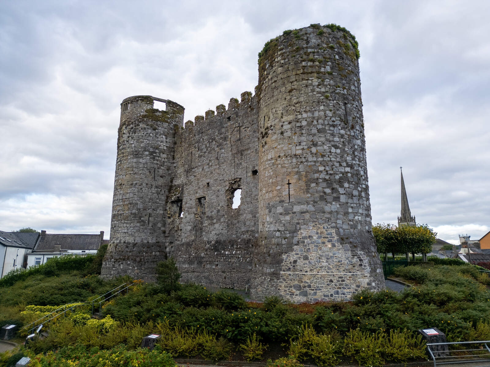 CastleCastle, motte · 1.4 mi
 Coppenagh CastleCastle, tower house · 1.8 mi
 European ashEuropean ash · 1.8 mi
 Kilmurry Church (in ruins), GraveyardChurch · 3.4 mi
 Duckett's GroveHeritage attraction · 3.8 mi
 Church (in ruins), Cross, GraveyardChurch · 4.1 mi
 Rath WoodForest · 4.1 mi
 Brownshill Portal TombVisitor information · 5.0 mi