What is recorded here
Situated on a gentle S-facing slope in very wet, rushy terrain in rough pasture, on a fairly flat ridge. A grass-covered mound (16.3m N-S; H 0.6-1m) defined by an interrupted non-contiguous circle of twenty-six substantial kerbstones of sandstone with some quartz inclusions (H 0.44-0.88m; Wth 0.52-0.8m; T 0.19-0.32m). Some of the kerbstones are split with their flat surface towards the interior. According to an OPW field report (30.12.77) there are cupmarks on the external faces of some of the kerbstones in the SE quad; these are now covered with lichen. A possible cupmark was noted on the internal face of a stone in the NNW quadrant and on the external face of a stone at ESE. Two boulders are exposed roughly in the centre of the mound aligned NW-SE and 0.48m apart. The SW stone is 0.93m long and at least 0.25m wide; the NE stone is more grass covered. Both appear to have their flat edge lining the interior of a possible cist; no visible end stones. Immediately S of the site the slope has been cut to form a field drainage ditch associated with a boundary bank.
The above description is derived from 'The Archaeological Inventory of County Tipperary. Vol. 1 - North Tipperary' compiled by Jean Farrelly and Caimin O'Brien (Dublin: Stationery Office, 2002). In certain instances the entries have been revised and updated in the light of recent research.
Date of upload/revision: 22 September 2008
Mound barrow, likely dating to the Early Bronze Age. Its construction and positioning suggest a ceremonial or funerary function, typical of burial practices in this period.
The monument record does not grant public access. Check the route and ask the landowner before entering private land.
- What survives
- Recorded monument
Places near here
 St. Jamess WellHoly well · 1.5 mi
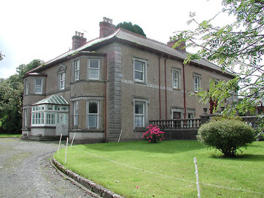 Skehanagh Househouse · 1.5 mi
 Longford WoodForest · 1.6 mi
 Borrisnoe MountainMountain / peak · 1.6 mi
 BenduffMountain / peak · 1.7 mi
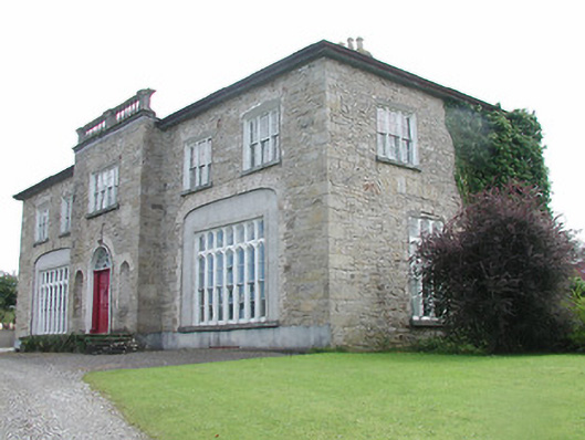 Lisduff Housecountry house · 1.9 mi
 Enclosure in Longford WoodEnclosure · 2.0 mi
 CastleCastle, ringwork · 2.1 mi
 BatteryCastle, ringwork · 2.5 mi
 Morris's GroveForest · 4.8 mi
 Thomas MacDonagh Heritage CentreMuseum · 8.8 mi
 MacDonagh HouseMemorial · 8.9 mi