What is recorded here
On shelf of SE-facing hillslope in upland region overlooking river valley from ENE through E to S. Monument consists of a low flat-topped mound (top diam. 7.5m SE-NW; base diam. 10.5m SE-NW; H at NW 0.7m; H at SE 2m) of earth and stone construction with no traces of an enclosing fosse visible. Nearby field boundary running SE-NW runs close to base of mound at NE side. Mound appears to have been dug into the side of the hill as it is higher on the SE side.
Compiled by: Jean Farrelly
Date of upload: 26 August 2011
A Neolithic mound barrow; likely dates to the Early to Middle Neolithic period (c. 4000–3000 BCE). Such barrows are significant as early funerary monuments, reflecting communal burial practices and social organisation in prehistoric Britain.
The monument record does not grant public access. Check the route and ask the landowner before entering private land.
- What survives
- Recorded monument
Places near here
 TooreenMountain / peak · 1443 yd
 Partially indicatedEnclosure · 1.2 mi
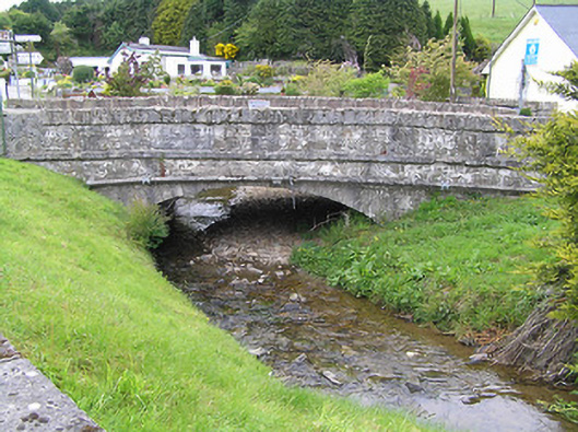 Hollyford Bridgebridge · 1.5 mi
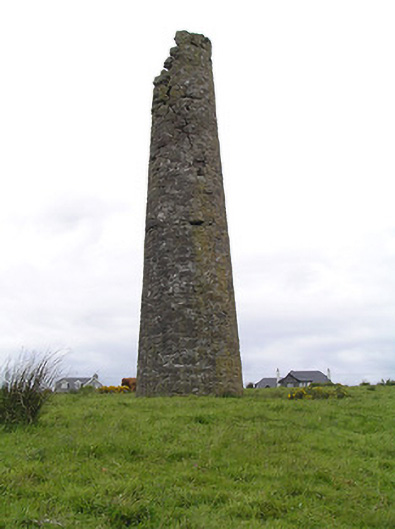 Hollyford Copper Mineschimney · 1.8 mi
 Hut site in CurraghmarkyHut site · 1.9 mi
 LackenacreenaMountain / peak · 2.5 mi
 Site of CastleCastle, unclassified · 4.3 mi
 Shanaclogh CastleCastle, unclassified · 4.5 mi
 Gortard WoodForest · 5.4 mi
 ToberagaddySpring · 9.7 mi
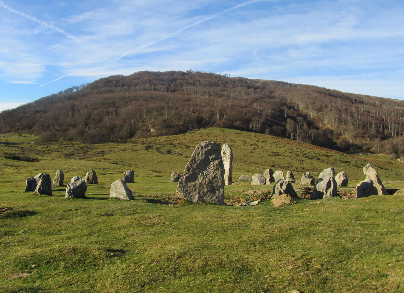 Cromlech (Site of)Megalithic structure · 2.1 mi
 Enclosure in CurraghmarkyEnclosure · 2.1 mi